Author Description
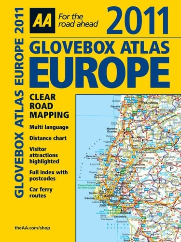
This handy atlas easily fits in the glovebox of your car, perfect for quick referencing on the move. Fully updated from the AA mapping database, the atlas includes information on road map symbols, key-to-map page, and mileage charts. There is a distance chart for all European capital cities and map symbols are represented in five languages (English, French, German, Italian, and Spanish). Over 40 countries are covered from Western Europe to Moscow, including the Canary Islands and the Azores, making this the perfect companion for traveling through Europe.
Page Count:
216
Publication Date:
2010-07-01
ISBN-10:
0749563370
ISBN-13:
9780749563370
Community Tags
Reader Comments
Share Your Thoughts
No comments yet. Be the first to share your thoughts!