Author Description
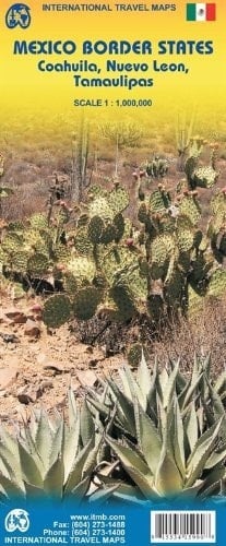
Coahuila, Nuevo León & Tamaulipas (Mexico) 1:1,000,000 Travel Map with city plans ITMB<br/>This regional map covers three states in north-eastern Mexico, along the US border: Coahuila, Nuevo Leon and Tamaulipas. It shows all the border crossings and indicates directions into the USA.<br/>Altitude tinting represents the general relief, with swamp and mangrove areas, inundation zones and national parks marked. Road detail includes selected minor roads and tracks, and shows locations of petrol stations, border crossings to Texas, plus intermediate distances on major routes. Railways, local airports and province boundaries are shown and a range of symbols mark archaeological sites, places of interest, selected campsites, spas, beaches, watersport sites, tourist information offices, etc. The map is indexed and has lines of latitude and longitude at 1° intervals.<br/>On the reverse are three fairly large street plans of central Monterrey 1:15,000 (19.5 x 13.5 in), Saltillo and Ciudad Victoria, annotated with symbols highlighting main places of interest and facilities.
Page Count:
2
Publication Date:
2009-01-01
ISBN-10:
9638697652
ISBN-13:
9789638697653