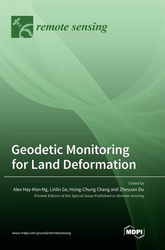
Geodetic Monitoring for Land Deformation
0
0
As an Amazon Associate and affiliate partner, Menrva Books earns from qualifying purchases. Learn more
Author Description
This reprint focuses on original research articles on the use of geodetic measurement techniques for land deformation identification, monitoring, and impact assessment. The development and application of modern surveying techniques for understanding land deformation is of particular interest. There is a special focus on examining the current and advanced geodetic measurement techniques, including radar interferometry (InSAR), global navigation satellite systems (GNSS), light detection and ranging (LiDAR), close-range photogrammetry (CRP), Robotic Total Station (RTS), digital levelling etc., to detect and monitor land deformation.
Menrva's Summary
THE THESIS
This collection investigates the application of advanced geodetic measurement techniques for the identification, monitoring, and impact assessment of land deformation. The book compiles original research articles focusing on modern surveying techniques, with a particular emphasis on radar interferometry (InSAR), global navigation satellite systems (GNSS), light detection and ranging (LiDAR), close-range photogrammetry (CRP), Robotic Total Station (RTS), and digital levelling. It aims to provide a comprehensive overview of current and emerging geodetic methods for detecting and monitoring changes in the Earth's surface.
THE SCOPE MAP
- Original research articles on geodetic monitoring for land deformation.
- Application of modern surveying techniques for understanding land deformation.
- Examination of advanced geodetic measurement techniques including InSAR, GNSS, LiDAR, CRP, RTS, and digital levelling.
- Focus on identification, monitoring, and impact assessment of land deformation.
THE AUTHORITY PERSPECTIVE
This compilation presents original research on geodetic techniques for land deformation, indicating a focus on technical and scientific advancements in the field. The inclusion of multiple advanced measurement methods suggests a comprehensive scope for researchers and practitioners. The emphasis on identification, monitoring, and impact assessment points to the practical applications of these geodetic tools in understanding geological and environmental changes.
Page Count:
316
Publication Date:
2023-01-01
Publisher:
MDPI - Multidisciplinary Digital Publishing Institute
ISBN-10:
3036564438
ISBN-13:
9783036564432
Science
Non-Fiction
Surveying
Geodesy
Geomatics
Remote sensing
Community Tags
Similar Books