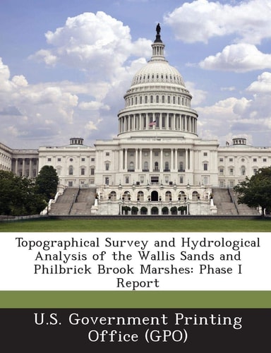
Topographical Survey and Hydrological Analysis of the Wallis Sands and Philbrick Brook Marshes Phase I Report
0
0
As an Amazon Associate and affiliate partner, Menrva Books earns from qualifying purchases. Learn more
Author Description
The United States Government Printing Office (GPO) was created in June 1860, and is an agency of the the U.S. federal government based in Washington D.C. The office prints documents produced by and for the federal government, including Congress, the Supreme Court, the Executive Office of the President and other executive departments, and independent agencies. The Coastal Zone Information Center (CZIC) collection provides access to nearly 5,000 coastal related documents that the U.S. Government Printing Office (GPO) received from the National Oceanic and Atmospheric Administration (NOAA) Central Library. The collection provides almost 30 years of data and information crucial to the understanding of U.S. coastal management and NOAA's mission to sustain healthy coasts. This is one of their documents.
Menrva's Summary
THE THESIS
This report details the initial phase of a topographical survey and hydrological analysis of the Wallis Sands and Philbrick Brook Marshes. The document, produced by the U.S. Government Printing Office as part of the Coastal Zone Information Center collection, presents data crucial for understanding U.S. coastal management. It focuses on providing foundational information for NOAA's mission to sustain healthy coasts, drawing on nearly 30 years of accumulated data.
THE SCOPE MAP
- Topographical survey data for Wallis Sands and Philbrick Brook Marshes
- Hydrological analysis of the marsh systems
- Data relevant to U.S. coastal management
- Information supporting NOAA's coastal sustainability mission
THE AUTHORITY PERSPECTIVE
This report is a technical document intended for specialists in coastal management, environmental science, and hydrology. Its value lies in the specific data it presents regarding the Wallis Sands and Philbrick Brook Marshes, contributing to a broader understanding of U.S. coastal ecosystems. The inclusion within the Coastal Zone Information Center collection indicates its relevance to ongoing research and policy development in this field.
Page Count:
72
Publication Date:
2013-07-01
Publisher:
BiblioLife
ISBN-10:
1289249911
ISBN-13:
9781289249915
Science
Non-Fiction
Water Resources
Geography
Community Tags
Similar Books