Rand McNally Atlas
0
0
As an Amazon Associate and affiliate partner, Menrva Books earns from qualifying purchases. Learn more
Author Description
No description available.
Menrva's Summary
THE THESIS
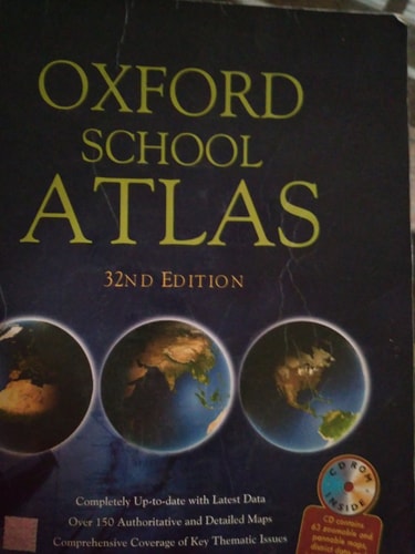
This work investigates the spatial representation of global geography through standardized cartographic methods. Rand McNally, a long-standing authority in commercial map production, utilizes extensive topographical data and satellite imagery to provide accurate navigational and reference information. The framework focuses on the systematic organization of physical and political boundaries to assist users in spatial orientation and geographic study.
THE SCOPE MAP
What You Will Find
- Detailed physical and political maps of global regions
- Indexing systems for location identification
- Standardized cartographic symbols and legends
Scope Limits
- Does not provide real-time traffic or dynamic navigational routing
- Does not offer deep historical analysis of geopolitical shifts
THE AUTHORITY PERSPECTIVE
Experts recognize this as a foundational reference tool for academic and professional geographic study. Readers frequently note the clarity of the cartographic design and the reliability of the provided spatial data.
Page Count:
0
Publication Date:
1980-01-01
Publisher:
HMSO
ISBN-10:
0110073150
ISBN-13:
9780110073156
Cartography
Geography
Reference
Atlas
Community Tags
Similar Books