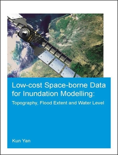
Low-cost space-borne data for inundation modelling: topography, flood extent and water level
0
0
As an Amazon Associate and affiliate partner, Menrva Books earns from qualifying purchases. Learn more
Author Description
This thesis aims to explore the potential and limitations of low-cost, space-borne data in flood inundation modelling under unavoidable, intrinsic uncertainty. In particular, the potential in supporting hydraulic modelling of floods of: NASA’s SRTM (Shuttle Radar Topographic Mission) topographic data, SAR (Synthetic Aperture Radar) satellite imagery of flood extents and radar altimetry of water levels are analyzed in view of inflow and parametric uncertainty. To this end, research work has been carried out by either following a model calibration-evaluation approach or by explicitly considering major sources of uncertainty within a Monte Carlo framework. To generalize our findings, three river reaches with various scales (from medium to large) and topographic characteristics (e.g. valley-filling, two-level embankments, large and flat floodplain) are used as test sites. Lastly, an application of SRTM-based flood modelling of a large river is conducted to highlight the challenges of predictions in ungauged basins. This research indicates the potential and limitations of low-cost, space-borne data in supporting flood inundation modelling under uncertainty, including findings related to the usefulness of these data according to modelling purpose (e.g. re-insurance, planning, design), characteristics of the river and considerations of uncertainty. The upcoming satellite missions, which could potentially impact the way we model flood inundation patters, are also discussed.
Menrva's Summary
THE THESIS
This thesis investigates the utility and constraints of low-cost, space-borne data for flood inundation modeling amidst inherent uncertainty. The research analyzes the potential of NASA's SRTM topographic data, SAR satellite imagery for flood extents, and radar altimetry for water levels, specifically evaluating their support for hydraulic flood modeling under inflow and parametric uncertainty. Methodologies employed include model calibration-evaluation and Monte Carlo simulations to address uncertainty. Three river reaches of varying scales and topographic characteristics serve as test sites to generalize findings, with a final application focusing on SRTM-based modeling in an ungauged basin.
THE SCOPE MAP
- Analysis of NASA's SRTM topographic data for flood inundation modeling.
- Evaluation of SAR satellite imagery for determining flood extents.
- Assessment of radar altimetry for measuring water levels.
- Consideration of inflow and parametric uncertainty in hydraulic flood modeling.
- Application of model calibration-evaluation and Monte Carlo frameworks.
- Testing across three river reaches with diverse scales and topographic features.
- Case study on SRTM-based flood modeling in an ungauged basin.
- Discussion on the implications of upcoming satellite missions for flood inundation modeling.
THE AUTHORITY PERSPECTIVE
This PhD thesis presents a rigorous analysis of low-cost, space-borne data for flood inundation modeling, addressing critical aspects of uncertainty. The research is grounded in established scientific methodologies and tested across varied geographical contexts, suggesting a comprehensive and practical approach to the subject. The findings are likely to be of significant interest to researchers and practitioners in hydrology, remote sensing, and disaster management, particularly those focused on ungauged basins and the impact of uncertainty on predictive models. The discussion of future satellite missions adds a forward-looking dimension to the work.
Page Count:
140
Publication Date:
2015-08-20
Publisher:
Taylor & Francis
ISBN-10:
1138028754
ISBN-13:
9781138028753
Science
Non-Fiction
Hydrology
Topography
Remote sensing
Community Tags
Similar Books