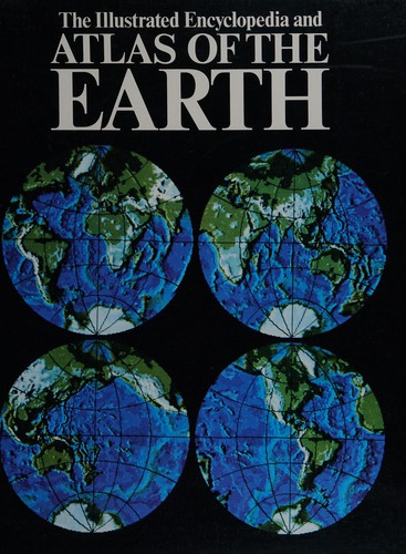
Satellite Atlas of the World
0
0
As an Amazon Associate and affiliate partner, Menrva Books earns from qualifying purchases. Learn more
Author Description
At the right distance the arresting presence of mountain ranges and the sheer artistry of graceful coastlines and meandering rivers emerge from the landscape. Terrains both strange and familiar become unfathomable abstractions from above. As the Earth's surface changes, and our ability to capture the impact of physical geography and human demography through satellite imaging improves, snapshots from outside the atmosphere are frequently turned to as valuable tools for understanding. More than a collection of aerial photographs or an example of a high-tech art form, the Satellite Atlas of the World is a detailed rendering of scientific data. Within this book, the latest satellite technology has been used to produce images of unparalleled clarity and color, providing beautiful photographs of countries, seas, mountains and lakes from an entirely new perspective.Covering six continents, the atlas begins with long shots of each region, moving in to focus on specific countries as well as familiar landmarks such as the Pyramids at Giza along with magnificent views of world's cities. Continent by continent, the magnification is progressively refined in a series of stunning pictures as the camera moves closer to the Earth. A brief introduction discusses the imaging techniques and mapping scales used, and captions on each page supply the reader with nuggets of historical and statistical information about each of the areas captured digitally.More than a reference book or an album of artwork, the Satellite Atlas of the World is a unique representation of Earth in transition. Enthusiasts of photography and geography alike will marvel at the highest, widest, most densely populated and unusual terrains in images that offer an unforgettable portrait of our planet in the 21st century.
Menrva's Summary
THE THESIS
This volume investigates the utility of high-resolution satellite imagery as a primary tool for visualizing physical geography and human demography on a global scale. The authors, NPA Satellite Mapping, utilize advanced remote sensing data to document the Earth's surface, arguing that these aerial perspectives provide a necessary scientific framework for understanding environmental and structural changes in the 21st century. The text bridges the gap between technical cartography and visual documentation to offer a comprehensive view of the planet's diverse terrains.
THE SCOPE MAP
What You Will Find
- High-resolution satellite imagery covering six continents.
- Progressive magnification sequences moving from regional long shots to specific country and landmark views.
- Technical explanations of imaging methodologies and mapping scales.
- Statistical and historical annotations for each captured geographic area.
THE AUTHORITY PERSPECTIVE
Experts and geography enthusiasts frequently cite this work as a high-quality visual reference that successfully balances aesthetic appeal with technical data. Readers often note the clarity of the imagery and the effectiveness of the progressive zoom structure in providing context for both natural landscapes and urban environments.
Page Count:
288
Publication Date:
2004-11-18
Publisher:
Oxford University Press
ISBN-10:
0195222040
ISBN-13:
9780195222043
Photography
Science
Reference
Geography
Atlases
Earth Science
Community Tags
Similar Books