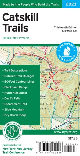
Catskill Trails Map, 2023: Catskill Forest Preserve
0
0
As an Amazon Associate and affiliate partner, Menrva Books earns from qualifying purchases. Learn more
Author Description
The Catskill Trails Map by the New York-New Jersey Trail Conference is a six-map set featuring trails in and around Catskill Park in New York. The maps are printed in vibrant color on waterproof and tear-resistant Tyvek, include trail mileage numbers, and are a must-have for exploring the many trails and protected lands in the Catskill region. Covering more than 420 miles of trails and more than 325,000 acres of protected land, the revised 13th edition of Catskill Trails is the best map yet for exploring the vast wilderness of the Catskills. This 2023 edition features several trail updates and additions, including new trails like the Red Hill Fire Tower Trail and trails within Bluestone Wild Forest. Several trail lines have been updated with newer GPS data, and updates to viewpoints include both the addition of new views and the removal of some viewpoint stars at overgrown locations. Adjustments have been made near Doubletop and Graham mountains to indicate no public access. Many other updates including the addition of newly-protected lands, updated trail description text, and other adjustments make this the most accurate and up-to-date map yet of this region! Map features include: All designated trails within Catskill Park All 33 Catskill High Peaks Detailed trail mileage numbers 50-foot elevation contours 1:63,360 scale (1 inch = 1 mile) Convenient map sizes to carry and use on the trail Inset map of popular North Lake area with 20-foot elevation contours Detailed trail index and guide on the map backs State land and New York City DEP watershed land boundaries Marked trails, including the Long Path and Finger Lakes Trail Unmaintained trails and woods roads Shelters/lean-tos and fire towers Springs, waterfalls, viewpoints, and other points of interest Parking areas Campgrounds and primitive campsites Park contact information and regulations UTM grid with latitude/longitude markings and magnetic-north navigation lines Trail Conference maps are built
Menrva's Summary
THE THESIS
This map set aims to provide the most accurate and up-to-date navigational resource for exploring the Catskill Forest Preserve. Authored by the New York-New Jersey Trail Conference, a recognized authority on regional trails, this six-map set utilizes updated GPS data and extensive fieldwork to detail over 420 miles of trails across more than 325,000 acres. The primary argument is that detailed, current, and durable maps are essential for safe and informed exploration of this protected wilderness, addressing the need for precise information on trails, peaks, and points of interest.
THE SCOPE MAP
- All designated trails within Catskill Park
- Detailed information on the 33 Catskill High Peaks
- Trail mileage numbers and 50-foot elevation contours
- State land and New York City DEP watershed land boundaries
- Shelters/lean-tos, fire towers, springs, waterfalls, and viewpoints
- Parking areas, campgrounds, and primitive campsites
- UTM grid with latitude/longitude markings and magnetic-north navigation lines
THE AUTHORITY PERSPECTIVE
As the revised 13th edition, this map set represents an established and continually updated resource for hikers and outdoor enthusiasts in the Catskill region. The inclusion of detailed trail updates, new GPS data, and adjustments to viewpoints suggests a commitment to providing the most accurate navigational information available. The map's comprehensive features, from elevation contours to points of interest and land boundaries, indicate it is designed for serious exploration and planning.
Page Count:
6
Publication Date:
2023-02-06
Publisher:
New York-New Jersey Trail Conference
ISBN-10:
1944450238
ISBN-13:
9781944450236
Travel
Non-Fiction
Outdoors
New York
Maps
Community Tags
Similar Books