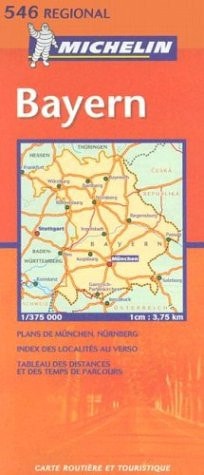
Michelin Bayern
0
0
As an Amazon Associate and affiliate partner, Menrva Books earns from qualifying purchases. Learn more
Author Description
An annually updated road map of Southeast Germany, covering the main and secondary road networks across the region. Scale: 1/300,000 - 1cm=3km Legend/Key in four languages (German, French, English, Dutch)
Menrva's Summary
THE THESIS
This guide provides an annually updated road map of Southeast Germany, detailing the main and secondary road networks. The map utilizes a scale of 1/300,000, where 1 centimeter represents 3 kilometers, offering a detailed view of the region's infrastructure. It includes a legend key presented in four languages: German, French, English, and Dutch, to facilitate use by a diverse range of travelers.
THE SCOPE MAP
- Road map of Southeast Germany
- Coverage of main and secondary road networks
- Scale: 1/300,000 (1cm = 3km)
- Legend/Key in German, French, English, and Dutch
THE AUTHORITY PERSPECTIVE
This road atlas is designed for travelers navigating Southeast Germany, offering detailed cartography of the region's road systems. Its multilingual legend ensures accessibility for international visitors. The annual updates suggest a commitment to providing current road information for planning and on-the-road navigation.
Page Count:
176
Publication Date:
2003-05-01
Publisher:
National Book Network
ISBN-10:
2061008844
ISBN-13:
9782061008843
Non-Fiction
Travel
Maps
Germany
Community Tags
Similar Books