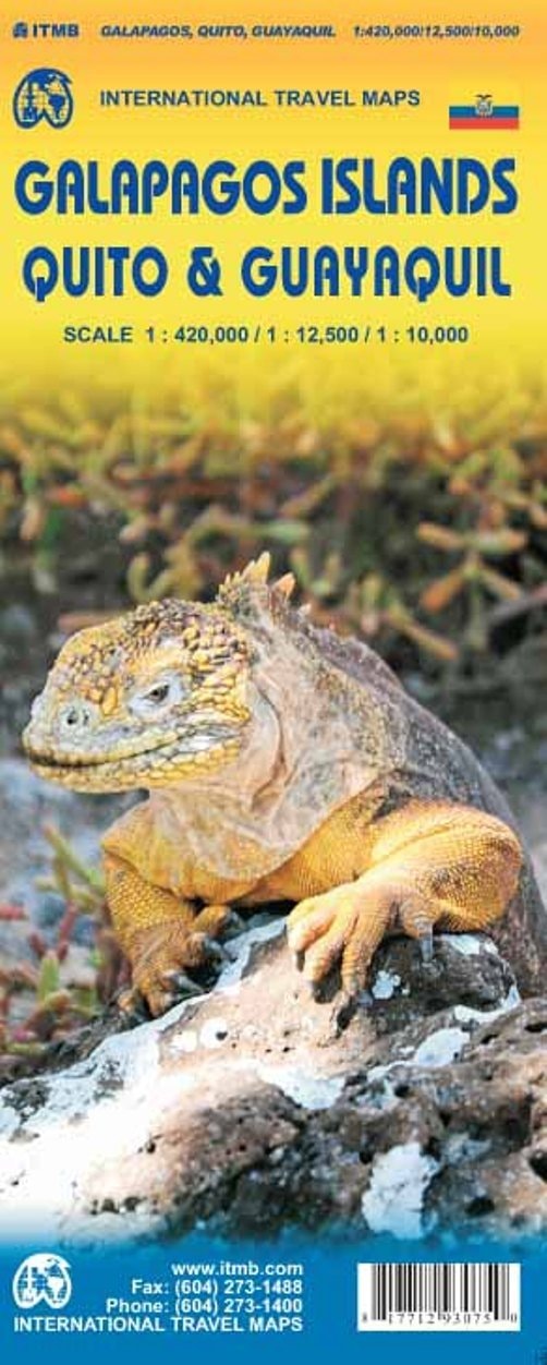
Galapagos Islands / Quito and Guayaquil 2015
0
0
As an Amazon Associate and affiliate partner, Menrva Books earns from qualifying purchases. Learn more
Author Description
We first published this map back in 1989/90. One might imagine that the Galapagos doesn't change, but the reality is that increasing tourism has effected enormous changes over the years. There are now two major airports, miles of paved roads, towns, farms, and thousands of local people earning a livelihood on the islands. The wild creatures are magnificent, of course, and well-protected, Tourism is managed well. We spent a week on a motor launch with only ten passengers, so had an unparalleled opportunity to see iguanas, frigate birds, turtles, and other creatures first-hand. We are very pleased to be able to issue this newly-updated version of our favorite island area.
Menrva's Summary
THE THESIS
This map details the Galapagos Islands, Quito, and Guayaquil, with a focus on the significant changes brought about by increasing tourism since its initial publication. The map reflects the reality of growing infrastructure, including two major airports, paved roads, towns, and farms, alongside the thriving local population. It highlights the magnificent and well-protected wildlife, emphasizing the managed tourism that allows for close encounters with creatures like iguanas, frigate birds, and turtles. The updated version aims to provide a comprehensive guide to this dynamic archipelago and its key mainland cities.
THE SCOPE MAP
- Detailed cartography of the Galapagos Islands, showcasing natural landscapes and wildlife habitats.
- Coverage of Quito and Guayaquil, including urban layouts and points of interest.
- Information on tourism infrastructure, such as airports and roads, in the Galapagos.
- Depiction of towns and settlements on the Galapagos Islands.
- Highlights of protected wildlife areas and notable fauna.
- Insights into the local population and their livelihoods on the islands.
THE AUTHORITY PERSPECTIVE
This map is presented as a newly-updated version of a previously popular guide, indicating a history of utility for travelers. The description emphasizes the practical changes in the Galapagos due to tourism, suggesting the map is designed to reflect current conditions and infrastructure. It aims to serve travelers by detailing both the natural wonders and the developed aspects of the islands and major Ecuadorian cities.
Page Count:
2
Publication Date:
2015-01-01
Publisher:
ITMB Publishing LTD
ISBN-10:
1771293071
ISBN-13:
9781771293075
Travel
Non-Fiction
South America
Travel Guide
Ecuador
Community Tags
Similar Books