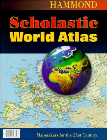
Hammond Scholastic World Atlas
0
0
As an Amazon Associate and affiliate partner, Menrva Books earns from qualifying purchases. Learn more
Author Description
Perfect for students, this conveniently-sized, computer-generated atlas is an excellent reference tool for learning about our changing world. Each country's political boundary is clearly distinguished with a contrasting band of color, making this value-priced atlas easy to read.
Menrva's Summary
THE THESIS
This atlas provides a comprehensive overview of global geography, focusing on political boundaries and current world information. Designed as a reference tool for students, it presents clear, color-coded maps that distinguish national borders, making it an accessible resource for understanding geopolitical changes.
THE SCOPE MAP
- Detailed maps showcasing political boundaries of all countries.
- Computer-generated cartography for clarity and accuracy.
- Contrasting color bands to easily differentiate national borders.
- Information relevant to understanding the changing world.
THE AUTHORITY PERSPECTIVE
This atlas is positioned as a valuable educational resource, particularly for students needing a clear and accessible reference for geography. Its value is highlighted by its convenient size and the clarity of its maps, which use color to delineate political boundaries effectively. The focus on computer-generated data suggests an effort to provide up-to-date information on global divisions. It is presented as an economical choice for educational purposes.
Page Count:
48
Publication Date:
2000-01-01
Publisher:
Hammond World Atlas Corporation
ISBN-10:
0843713755
ISBN-13:
9780843713756
Non-Fiction
Geography
Reference
Education
Community Tags
Similar Books