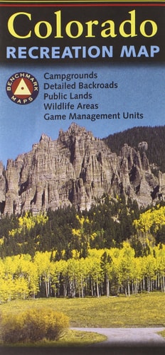
Benchmark Colorado Recreation Map
0
0
As an Amazon Associate and affiliate partner, Menrva Books earns from qualifying purchases. Learn more
Author Description
The Colorado Recreation Map is the ideal planning tool for everything outdoors, from a rugged backcountry adventure to a nearby day-hike. It's the only Colorado folded map that benefits from Benchmark's field-checked accuracy and cartographic excellence. * Extensive backroad detail * Forest & Wildlife areas * Game Management Units * Boating & Fishing areas * Parks & Monuments * Denver & Vicinity Map * Statewide Mileage Map Paper, self-cover, two-sided folded map. Scale: 1" = 12 miles Size: Folded = 4.25" x 9" Unfolded = 34" x 27"
Menrva's Summary
THE THESIS
This map serves as the definitive planning tool for outdoor enthusiasts exploring Colorado. It consolidates extensive, field-checked cartographic data to provide unparalleled detail for a wide range of recreational activities across the state.
THE SCOPE MAP
- Extensive backroad detail
- Forest & Wildlife areas
- Game Management Units
- Boating & Fishing areas
- Parks & Monuments
- Denver & Vicinity Map
- Statewide Mileage Map
THE AUTHORITY PERSPECTIVE
The Benchmark Colorado Recreation Map is recognized for its field-checked accuracy and cartographic excellence, positioning it as a premier planning tool for outdoor activities. Its detailed coverage of backroads, natural areas, and recreational sites makes it invaluable for both backcountry adventurers and day-trippers. The inclusion of specific maps for the Denver area and statewide mileage further enhances its utility for comprehensive trip planning.
Page Count:
1
Publication Date:
2007-01-01
Publisher:
Benchmark Maps (Firm)
ISBN-10:
0783499019
ISBN-13:
9780783499017
Travel
Non-Fiction
Outdoors
Maps
Recreation
Community Tags
Similar Books
![Springer and Cohutta Mountains Map [Chattahoochee National Forest]](https://storage.googleapis.com/menrva_img_storage/covers/9781566954662_58e431f6.jpg)