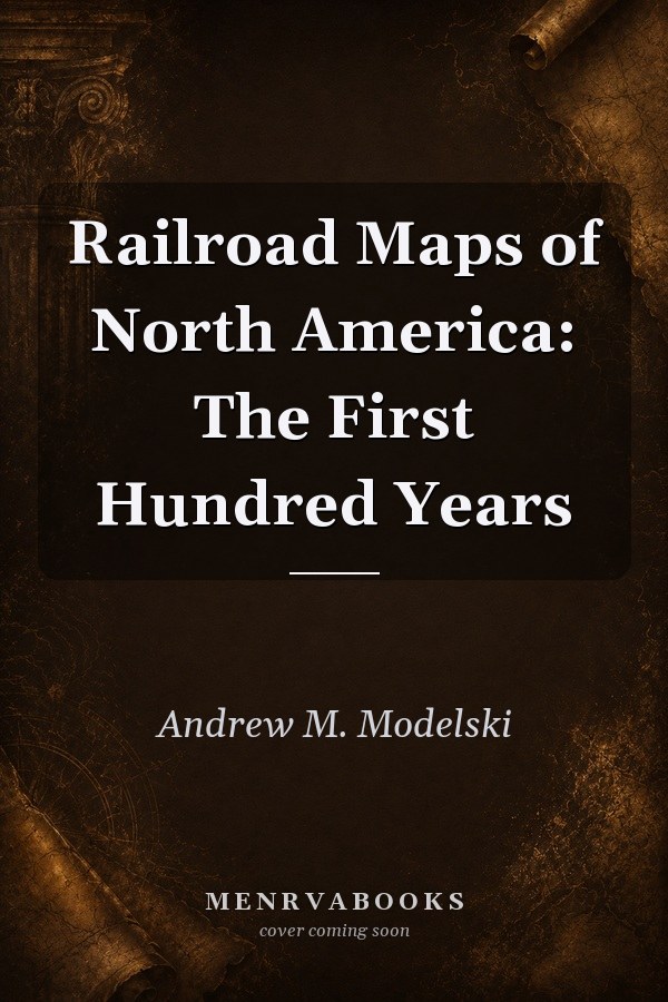
Railroad Maps of North America: The First Hundred Years
0
0
As an Amazon Associate and affiliate partner, Menrva Books earns from qualifying purchases. Learn more
Author Description
No description available.
Menrva's Summary
THE THESIS
This work investigates the evolution of North American transportation infrastructure through the lens of cartographic history during the industry's formative century. Andrew M. Modelski, a former specialist at the Library of Congress, utilizes the extensive collection of the Geography and Map Division to document how maps functioned not only as navigational tools but as promotional instruments for railroad expansion. The text provides a chronological framework that links the physical growth of rail networks to the shifting political and economic landscape of the continent.
THE SCOPE MAP
What You Will Find
- A comprehensive survey of railroad mapping from the early 19th century to the early 20th century.
- Analysis of promotional maps used to attract settlers and investors to western territories.
- Reproductions and descriptions of significant cartographic artifacts from the Library of Congress.
Scope Limits
- The text focuses primarily on the United States and Canada, with limited coverage of Mexican rail development.
- It does not provide an exhaustive technical history of locomotive engineering or mechanical operations.
THE AUTHORITY PERSPECTIVE
Historians and cartographers frequently cite this volume as a primary reference for understanding the visual history of American expansion. Experts note the high quality of the reproductions and the scholarly rigor applied to the cataloging of these historical documents.
Page Count:
0
Publication Date:
1984-01-01
Publisher:
United States Government Printing Office
ISBN-10:
0160040531
ISBN-13:
9780160040535
History
Cartography
Geography
American History
Reference
Railroad History
Community Tags
Similar Books