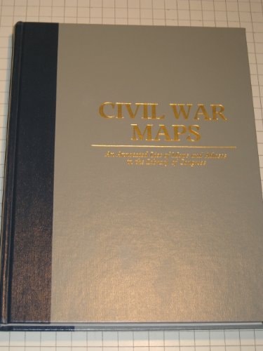
Civil War Maps: An Annotated List of Maps and Atlases in the Library of Congress
0
0
As an Amazon Associate and affiliate partner, Menrva Books earns from qualifying purchases. Learn more
Author Description
No description available.
Menrva's Summary
THE THESIS
This reference work serves as a comprehensive bibliographic guide to the extensive collection of Civil War-era maps and atlases held by the Library of Congress. Richard W. Stephenson, a noted map librarian, compiled this second edition to provide researchers and historians with a systematic inventory of cartographic materials documenting the American Civil War. The text functions as a primary finding aid, organizing thousands of individual maps, charts, and atlases by geographic region and military engagement to facilitate scholarly access to primary source data.
THE SCOPE MAP
What You Will Find
- Detailed bibliographic entries for over 2,000 maps and atlases.
- Geographic and chronological indexing of military movements and fortifications.
- Annotations describing the physical characteristics and historical context of each map.
Scope Limits
- The text does not provide full-color reproductions of the maps themselves.
- It excludes non-cartographic primary source documents such as letters or official military reports.
THE AUTHORITY PERSPECTIVE
Historians and archivists regard this volume as a foundational reference tool for any serious study of Civil War military geography. Readers frequently note the technical precision of the entries, which remain a standard resource for locating specific cartographic evidence within the Library of Congress collections.
Page Count:
0
Publication Date:
1989-03-01
Publisher:
Government Printing Office
ISBN-10:
0160040086
ISBN-13:
9780160040085
History
Civil War
Cartography
Reference
Community Tags
Similar Books