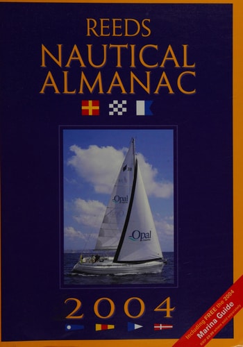
Reeds Nautical Almanac
0
0
As an Amazon Associate and affiliate partner, Menrva Books earns from qualifying purchases. Learn more
Author Description
This is an annual compendium of navigational data for UK yachtsmen. This edition continues the Almanac's tradition of year-on-year improvement, expansion and presentation of all the data required for safe navigation. The coverage includes the entire European Atlantic area - the UK, Ireland and the European coastline from the tip of Denmark right down to Gibraltar and has four-colour port plans and illustrations throughout. The Royal Yachting Association use it as source information for training publications and courses, while the RNLI carry it as a standard publication aboard all-weather lifeboats. The Almanac provides the yachtsman with all the data required to navigate Atlantic waters. Divided into 25 areas it provides heavily illustrated and detailed harbour, marina, coastal and tidal information. With data gathered from many different sources, including its own network of over 200 local agents, the Almanac is rigorously checked and updated very year to ensure it is both safe and fully informative.
Page Count:
1072
Publication Date:
2003-09-01
Publisher:
Pan Macmillan
ISBN-10:
1904358160
ISBN-13:
9781904358169