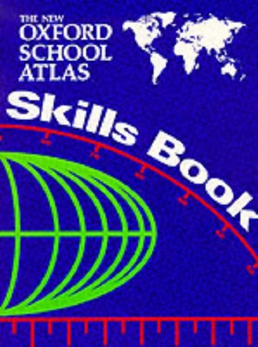
The New Oxford School Atlas
0
0
As an Amazon Associate and affiliate partner, Menrva Books earns from qualifying purchases. Learn more
Author Description
Designed specifically for GCSE/SCE courses, this atlas has been revised and updated. It contains computer-generated topographical mapping of the British Isles, and comprehensive topographical coverage of world regions.
Menrva's Summary
THE THESIS
This atlas serves as a comprehensive cartographic resource designed to support the specific curriculum requirements of GCSE and SCE geography students. The authors, Margaret Carr and Patrick and Toni Wiegand, utilize advanced computer-generated mapping techniques to provide clear, accurate, and up-to-date visual data. The text functions as a primary reference tool for students navigating regional and global topographical studies within an academic framework.
THE SCOPE MAP
What You Will Find
- Computer-generated topographical mapping of the British Isles
- Comprehensive topographical coverage of global world regions
- Specialized cartographic data aligned with GCSE and SCE course requirements
- Updated geographical information for classroom and independent study
THE AUTHORITY PERSPECTIVE
Educators and students frequently identify this text as a standard, reliable resource for secondary school geography curricula. Experts highlight the clarity of the computer-generated maps as a significant aid for students learning to interpret complex topographical data.
Page Count:
64
Publication Date:
1993-01-01
Publisher:
Oxford University Press
ISBN-10:
0198316860
ISBN-13:
9780198316862
Schools & Teaching
Atlases & Maps
Geography
Education
Atlases
Reference
Cartography
Community Tags
Similar Books