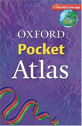
Oxford Pocket Atlas
0
0
As an Amazon Associate and affiliate partner, Menrva Books earns from qualifying purchases. Learn more
Author Description
Excellent world topographic coverage in a new, versatile format at an attractive price point The Oxford Pocket Atlas uses the latest technology to create an accurate and up-to-date atlas, ideal for use by students and adults alike. The content includes comprehensive coverage of the countries and oceans of the world, together with a world statistical section, flags of the world at a usable size, and an index.
Menrva's Summary
THE THESIS
This atlas addresses the need for a portable, technologically current, and comprehensive cartographic reference for students and general readers. The authors, Patrick and Toni Schiavone Wiegand, utilize modern mapping technology to synthesize global topographic data into a compact format. The work provides a structured framework for understanding international geography through detailed maps, statistical data, and visual identifiers.
THE SCOPE MAP
What You Will Find
- Comprehensive topographic maps covering all countries and oceans
- A dedicated section for global statistical data
- A visual reference guide for international flags
- An integrated index for rapid location of geographic features
THE AUTHORITY PERSPECTIVE
Experts and educators frequently cite this volume as a practical, high-utility reference tool for classroom and personal use. The text is noted for its balance of portability and detailed information, making it a standard resource for quick geographic verification.
Page Count:
160
Publication Date:
2006-01-01
Publisher:
Oxford University Press
ISBN-10:
0198321996
ISBN-13:
9780198321996
Historical
Atlases & Maps
Reference
Education
Geography
Atlases
Community Tags
Similar Books