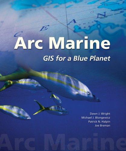
Arc Marine
0
0
As an Amazon Associate and affiliate partner, Menrva Books earns from qualifying purchases. Learn more
Author Description
At a time when the health of our oceans is seen as crucial to our very existence, marine researchers have developed a data model that supports seafloor mapping, fisheries management, marine mammal tracking, monitoring of shoreline change, and water temperature analysis. Our ability to measure change in oceans and along coasts has increased as marine GIS has grown more complex. Arc Marine: GIS for a Blue Planet presents the initial results of a successful effort to create and define a data model for the marine community - academic, government, military, and private oceanographers, resource managers, conservationists, geographers, nautical archaeologists, and others who support better management of complex spatial analysis in marine applications. The data model not only provides structure to storing and analyzing marine data but helps users create maps and 3D scenes of the marine environment in ways invaluable to decision making. The standards and best practices that emerged from the case studies in Arc Marine form a diverse set of resources to draw from as the marine community strives to understand. illuminate, chart, and explore the unknown depths. As a teaching tool, Arc Marine serves as a perfect starting point for the intermediate student or as a resource for the expert in marine GIS and its implementation.
Menrva's Summary
THE THESIS
The critical state of global oceans necessitates advanced tools for comprehensive spatial analysis and management. This book introduces Arc Marine, a data model designed to support a wide array of marine applications, including seafloor mapping, fisheries management, and environmental monitoring. It details the development and implementation of this model, showcasing its utility for academic, governmental, military, and private sector professionals. The presented standards and best practices, derived from case studies, offer valuable resources for understanding and managing the marine environment.
THE SCOPE MAP
- A comprehensive data model for marine spatial analysis.
- Applications in seafloor mapping, fisheries management, and marine mammal tracking.
- Tools for monitoring shoreline change and water temperature.
- Case studies demonstrating the implementation of Arc Marine.
- Standards and best practices for marine GIS.
- A resource for intermediate students and expert practitioners in marine GIS.
THE AUTHORITY PERSPECTIVE
This work is positioned as a foundational text for professionals and students engaged in marine spatial analysis and Geographic Information Systems (GIS). It addresses the growing need for sophisticated data models to manage and understand the complexities of the marine environment. The book's focus on practical applications and case studies suggests its value as both a teaching tool and a reference for experts in the field.
Page Count:
216
Publication Date:
2008-01-01
ISBN-10:
1589480171
ISBN-13:
9781589480179
Science
Non-Fiction
Sports
Oceanography
Marine Science
Data Modeling
Community Tags
Similar Books