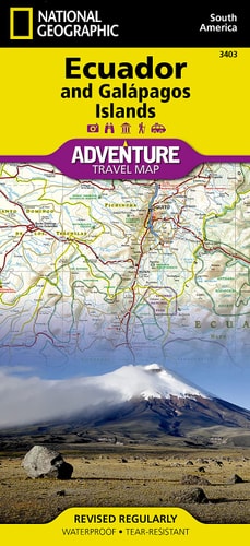
Ecuador and Galapagos Islands Map
0
0
As an Amazon Associate and affiliate partner, Menrva Books earns from qualifying purchases. Learn more
Author Description
• Waterproof • Tear-Resistant • Travel Map National Geographic's Ecuador and Galapagos Islands Adventure Map, with its comprehensive information, is uniquely designed for adventure travelers. The map delivers unparalleled detail of the entire country and its recreational, historical, cultural and natural destinations. Pinpointed spots include beaches, wildlife areas, archeological sites, churches and areas for camping, surfing, fishing and diving. A list of cities and towns with a user-friendly index is provided along with a road network of highways, major and secondary roads, shown with distances. Unsurfaced and 4-wheel-drive roads are mapped for those wishing to get off the beaten track. Other displayed travel aids include airports, airfields, harbors, anchorage sites, railroads, ferry routes and border crossings with neighboring Colombia and Peru. The northern part of the map covers the capital city of Quito, Cotopaxi Volcano and National Park, Cuyabeno Wildlife Reserve, the town of Tena in the Amazon rainforest and the country's largest city of Guayaquil. The southern part of the map covers from Guayaquil to the southern and southeastern border with Peru, showing the diverse Podocarpus National Park in the southern Andes and Amazonian ecological systems. An inset map covers the world renowned Galapagos Islands, showing Galapagos National Park and Marine Reserve, Tortoise Reserve and diving areas around the islands. This expertly researched map is the perfect complement to any guidebook. Every Adventure Map is printed on durable synthetic paper, making them waterproof, tear-resistant and tough — capable of withstanding the rigors of international travel. Map Scale = 1:750,000 Sheet Size = 37.75" x 25.5" Folded Size = 4.25" x 9.25"
Menrva's Summary
THE THESIS
This map provides comprehensive geographical and recreational information for Ecuador and the Galapagos Islands, designed for adventure travelers. It details recreational, historical, cultural, and natural destinations, pinpointing beaches, wildlife areas, archeological sites, and locations for activities like camping, surfing, fishing, and diving. The map includes an extensive road network, airports, harbors, and ferry routes, with inset coverage of the Galapagos Islands, highlighting key reserves and diving areas.
THE SCOPE MAP
- Waterproof and tear-resistant synthetic paper construction
- Detailed road network including unsurfaced and 4-wheel-drive roads
- Coverage of major cities like Quito and Guayaquil
- Inclusion of national parks such as Cotopaxi Volcano and National Park, Cuyabeno Wildlife Reserve, and Podocarpus National Park
- Specific mapping of the Galapagos Islands, including National Park, Marine Reserve, and Tortoise Reserve areas
- Recreational activity locations for camping, surfing, fishing, and diving
- User-friendly index of cities and towns
- Border crossings with Colombia and Peru
THE AUTHORITY PERSPECTIVE
This map is presented as an expertly researched tool for adventure travelers, intended to complement guidebooks. Its durable, waterproof, and tear-resistant construction is highlighted as a key feature for international travel. The detailed information provided covers a wide range of destinations and activities, suggesting it is a practical resource for planning and navigating expeditions within Ecuador and the Galapagos Islands.
Page Count:
2
Publication Date:
2022-01-01
Publisher:
Natl Geographic Society Maps
ISBN-10:
1566955475
ISBN-13:
9781566955478
Non-Fiction
Travel
South America
Reference
Ecuador
Maps
Community Tags
Similar Books