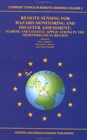
Remote Sensing for Hazard Monitoring and Disaster Assessment
0
0
As an Amazon Associate and affiliate partner, Menrva Books earns from qualifying purchases. Learn more
Author Description
Author description coming soon. We're reaching out to them in the ether...
Menrva's Summary
THE THESIS
This book investigates the application of remote sensing technologies for the crucial tasks of monitoring natural hazards and assessing the impact of disasters. It explores how satellite imagery and other remote sensing data can provide timely and comprehensive information for disaster management. The work likely draws on case studies and technical analyses to demonstrate the capabilities and limitations of these tools in real-world scenarios.
THE SCOPE MAP
- Principles of remote sensing relevant to hazard monitoring
- Techniques for detecting and tracking natural hazards (e.g., floods, earthquakes, volcanic activity)
- Methods for assessing disaster damage and impact using satellite data
- Case studies of remote sensing applications in disaster response
- Integration of remote sensing data with Geographic Information Systems (GIS)
- Challenges and future directions in remote sensing for disaster management
THE AUTHORITY PERSPECTIVE
The book is likely regarded as a technical overview for professionals and researchers in the fields of remote sensing, disaster management, and environmental science. Its focus on practical applications and technical methodologies suggests it serves as a valuable reference for understanding how advanced technologies can be deployed to mitigate risks and respond to catastrophic events. The content would appeal to those seeking detailed information on the capabilities of satellite-based monitoring for hazard assessment.
Page Count:
240
Publication Date:
1991-01-01
ISBN-10:
2881248098
ISBN-13:
9782881248092
Non-Fiction
Science
Remote sensing
Geography
Community Tags
Similar Books