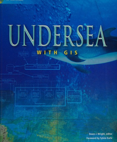
Undersea with GIS
0
0
As an Amazon Associate and affiliate partner, Menrva Books earns from qualifying purchases. Learn more
Author Description
Author description coming soon. We're reaching out to them in the ether...
Menrva's Summary
THE THESIS
This book explores the application of Geographic Information Systems (GIS) in understanding and managing the world's oceans. It details how GIS technology can be utilized to analyze marine environments, map underwater features, and support conservation efforts. The text likely covers various case studies and methodologies for spatial data analysis in an oceanic context, aiming to provide a comprehensive overview for professionals and researchers in marine science and GIS.
THE SCOPE MAP
- Applications of GIS in marine spatial planning
- Techniques for underwater data collection and analysis
- Mapping and visualization of oceanographic features
- Case studies of GIS use in marine conservation
- Integration of GIS with other marine technologies
- Spatial modeling for marine resource management
- Future trends in marine GIS
THE AUTHORITY PERSPECTIVE
The book is likely regarded as a specialized technical resource for professionals and academics working at the intersection of GIS and marine science. Its focus on practical applications and case studies suggests it serves as a valuable reference for those involved in oceanographic research, environmental management, and maritime spatial planning. The content probably appeals to a niche audience seeking in-depth knowledge on leveraging GIS for oceanic challenges.
Page Count:
253
Publication Date:
2002-01-01
ISBN-10:
1589480163
Science
Non-Fiction
Technology
Marine Science
Oceanography
Community Tags
Similar Books