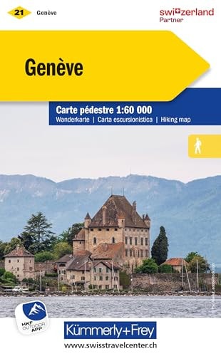
Geneva 2018
0
0
As an Amazon Associate and affiliate partner, Menrva Books earns from qualifying purchases. Learn more
Author Description
This hiking map shows three grades of hiking route; hiking path, mountain path and alpine path. It includes bus routes, railways, chair lifts, cable car lines, campsites, hostels, mountain huts, hotels, and points of interest.
Menrva's Summary
THE THESIS
This map details the extensive hiking network around Geneva, Switzerland, providing essential navigational information for outdoor enthusiasts. Compiled by Hallwag Kummerly Frey AG, a renowned cartography firm, this map utilizes detailed topographical data to delineate three distinct grades of hiking routes: hiking paths, mountain paths, and alpine paths. It serves as a comprehensive guide to the region's recreational infrastructure, integrating transportation links and accommodation options with points of interest for a complete visitor experience.
THE SCOPE MAP
- Three grades of hiking routes: hiking path, mountain path, and alpine path.
- Integrated transportation networks including bus routes, railways, chair lifts, and cable car lines.
- Accommodation options such as campsites, hostels, mountain huts, and hotels.
- Key points of interest marked for exploration.
THE AUTHORITY PERSPECTIVE
This map is a specialized tool for hikers and travelers focused on the Geneva region. Its detailed cartography and inclusion of varied route types suggest a focus on practical navigation for outdoor activities. The integration of transportation and accommodation information positions it as a comprehensive resource for planning multi-day excursions or day trips in the area.
Page Count:
1
Publication Date:
2018-06-01
Publisher:
Hallwag Kümmerly+Frey
ISBN-10:
325902221X
ISBN-13:
9783259022214
Travel
Non-Fiction
Hiking
Maps
Switzerland
Community Tags
Similar Books