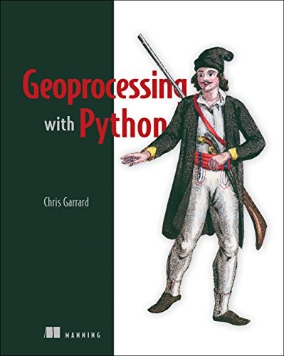
Geoprocessing with Python
0
0
As an Amazon Associate and affiliate partner, Menrva Books earns from qualifying purchases. Learn more
Author Description
Geoprocessing with Python is a practical guide to automating and enhancing your spatial data analysis workflows. This book covers the essential libraries and techniques you need to manipulate, analyze, and visualize geographic data. Through practical examples and code snippets, you'll learn how to perform common geoprocessing tasks, work with vector and raster data, and integrate Python into your GIS environment. Whether you're a GIS professional, a data scientist, or a developer, this book provides the tools and knowledge to unlock the power of Python for your spatial data needs.
Menrva's Summary
THE THESIS
This book introduces the principles and practices of geoprocessing using the Python programming language. It is designed for users who want to automate and enhance their spatial data analysis workflows. The book covers essential libraries and techniques for manipulating, analyzing, and visualizing geographic data, providing practical examples and code snippets to guide readers through real-world applications.
THE SCOPE MAP
- Core concepts of geoprocessing and spatial data handling
- Practical applications using Python libraries like GeoPandas, Fiona, and Shapely
- Techniques for vector and raster data manipulation
- Methods for spatial analysis, including overlay, buffering, and proximity analysis
- Examples of automating common GIS tasks
- Guidance on data visualization for geographic information
THE AUTHORITY PERSPECTIVE
The book is recognized as a practical guide for GIS professionals and developers looking to leverage Python for spatial tasks. Its focus on hands-on examples and specific libraries makes it a valuable resource for those seeking to automate and streamline their geoprocessing workflows. The content is generally well-regarded for its clarity and applicability to common GIS challenges.
Page Count:
360
Publication Date:
2016-01-01
ISBN-10:
1617292141
ISBN-13:
9781617292149
Non-Fiction
Science & Technology
Python Programming
Spatial analysis
Data Science
Community Tags
Similar Books