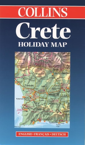
Crete: Collins Holiday Map
0
0
As an Amazon Associate and affiliate partner, Menrva Books earns from qualifying purchases. Learn more
Author Description
Text: English, French, German
Menrva's Summary
THE THESIS
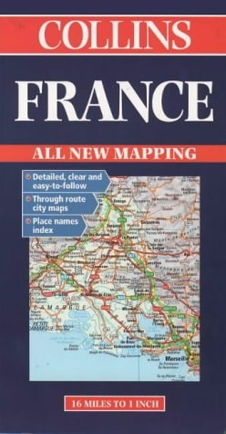
This map provides a comprehensive cartographic reference for navigating the island of Crete. Collins, a long-standing publisher of cartographic and educational materials, utilizes standardized mapping techniques to present the island's geography, road networks, and key points of interest. The document serves as a practical tool for travelers requiring a physical, multi-lingual orientation to the region's infrastructure.
THE SCOPE MAP
What You Will Find
- Detailed road network and highway classifications for Crete
- Multi-lingual legend and labeling in English, French, and German
- Topographical indicators and major geographical landmarks
- Urban center layouts and regional transit routes
THE AUTHORITY PERSPECTIVE
This map is regarded as a standard utility for travelers seeking a reliable, non-digital navigation aid for the island. The inclusion of three major European languages suggests an intent to serve a broad international tourist demographic.
Page Count:
2
Publication Date:
1999-01-01
Publisher:
William Collins & Sons Ltd
ISBN-10:
0004489020
ISBN-13:
9780004489025
Travel
Europe
Description and travel
Maps
Reference
Community Tags
Similar Books