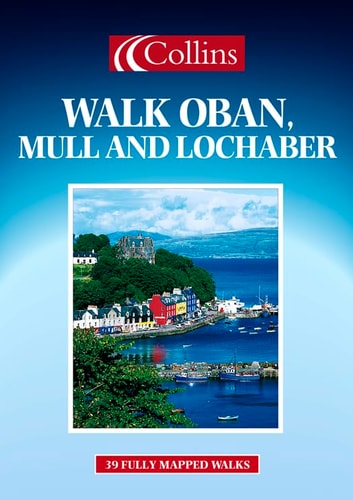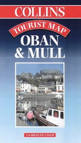
Oban and Mull Tourist Map
0
0
As an Amazon Associate and affiliate partner, Menrva Books earns from qualifying purchases. Learn more
Author Description
No description available.
Menrva's Summary
THE THESIS
This cartographic resource provides a detailed navigational and geographical overview of the Oban and Mull regions in Scotland. The publication serves as a practical reference tool for tourists, hikers, and motorists, utilizing standardized cartographic symbols to delineate terrain, infrastructure, and points of interest. It functions as a spatial guide for navigating the specific topography of the Inner Hebrides and the surrounding mainland coastal areas.
THE SCOPE MAP
What You Will Find
- Detailed road networks and ferry routes connecting Oban to the Isle of Mull
- Topographical representations of coastal and inland terrain
- Identification of key landmarks, historical sites, and tourist amenities
- Standardized map legend for distance, scale, and geographical features
THE AUTHORITY PERSPECTIVE
The document functions as a standard reference tool for regional navigation, offering a clear and utilitarian layout for travelers. Its utility is defined by its focus on geographical accuracy and the essential infrastructure required for traversing the Scottish Highlands and islands.
Page Count:
0
Publication Date:
1999-01-01
Publisher:
Collins
ISBN-10:
0004487664
ISBN-13:
9780004487663
Travel
Reference
Maps
Highlands Scotland
Scotland
Community Tags
Similar Books