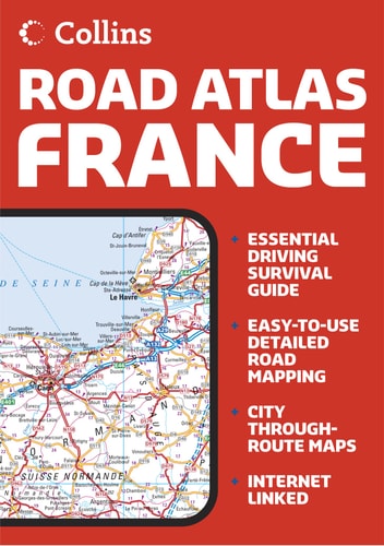
Collins Handy Road Atlas: France
0
0
As an Amazon Associate and affiliate partner, Menrva Books earns from qualifying purchases. Learn more
Author Description
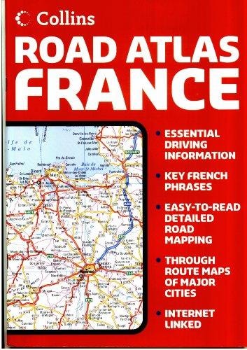
Includes city plans of Paris, Bordeaux, Brest, Dijon, Le Havre, Lille, Lyon, Marseille, Nantes, Nice, Toulouse and Strasbourg, plus maps of the Channel Tunnel terminals containing essential information for the visitor to France.
Menrva's Summary
THE THESIS
This atlas provides a comprehensive navigational resource for motorists and travelers navigating the French road network. The publication, produced by the cartographic experts at Collins, synthesizes regional road data with urban navigation aids to facilitate efficient travel across the country. It serves as a practical tool for route planning and local orientation for visitors unfamiliar with French infrastructure.
THE SCOPE MAP
What You Will Find
- Detailed road maps covering the national highway and secondary road systems of France.
- Specialized city plans for major metropolitan areas including Paris, Lyon, and Marseille.
- Cartographic layouts of Channel Tunnel terminals for cross-border transit.
- Essential travel information for international visitors navigating French traffic regulations.
THE AUTHORITY PERSPECTIVE
The content suggests a highly functional, utilitarian approach to navigation designed for the pre-digital era of travel. Its inclusion of specific city plans and terminal layouts indicates a focus on the practical requirements of a tourist or business traveler in France.
Page Count:
80
Publication Date:
1996-01-01
Publisher:
Collins
ISBN-10:
0004481518
ISBN-13:
9780004481517
Travel
Geography
France
Reference
Maps
Atlases & Maps
Community Tags
Similar Books