Comprehensive Road Atlas Britain and Ireland
0
0
As an Amazon Associate and affiliate partner, Menrva Books earns from qualifying purchases. Learn more
Author Description
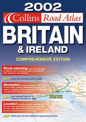
This A4 spiral road atlas at the popular 3.2 miles to 1 inch scale is designed for use in the car, home or office. It contains a complete route planning section, urban maps and town centre plans, and a full index to place names. The atlas also provides full road classification, places of interest and land height layer colouring. It includes the latest road and detail changes for 2002. Great Britain is mapped at at a scale of 3.2 miles to 1 inch and Ireland at 16 miles to 1 inch.
Menrva's Summary
THE THESIS
This atlas serves as a comprehensive navigational reference tool designed to facilitate route planning and spatial orientation across Great Britain and Ireland. The publication provides a standardized cartographic framework for drivers and travelers, utilizing specific scales to balance detail with regional coverage. By integrating urban planning data with topographical information, the atlas functions as a practical resource for both professional and recreational navigation.
THE SCOPE MAP
What You Will Find
- Detailed road classification and mapping for Great Britain at a 3.2 miles to 1 inch scale.
- Regional mapping for Ireland at a 16 miles to 1 inch scale.
- Integrated urban maps and town centre plans for localized navigation.
- Topographical data including land height layer colouring and identified places of interest.
- A comprehensive index of place names for efficient location searching.
THE AUTHORITY PERSPECTIVE
The technical layout of this atlas suggests a focus on utility for traditional road-based navigation, prioritizing clarity and scale accuracy for the user. Its inclusion of urban plans and topographical features indicates a design intended for broad application, ranging from long-distance route planning to local area orientation.
Page Count:
296
Publication Date:
2001-01-01
Publisher:
Collins
ISBN-10:
0007116152
ISBN-13:
9780007116157
Travel
British Isles
Great Britain
Reference
Maps
Geography
Ireland
Community Tags
Similar Books