Ports and Airports: Amazing Views from Www.getmapping.com
0
0
As an Amazon Associate and affiliate partner, Menrva Books earns from qualifying purchases. Learn more
Author Description
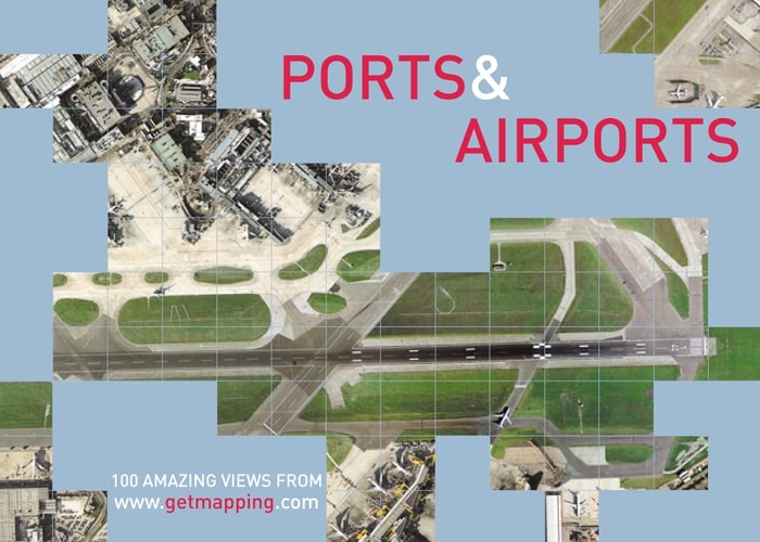
Ports and Airports is a compilation of 100 vertical aerial photographs of British docks and airports, taken from the Millennium Map. The Millenium Map consists of vertical photographs of the whole of the United Kingdom from an average height of 5500 feet, recording every object right down to a minimum size of 25cm. Heathrow, the world's busiest passenger airport; St Mary's on the Scilly Isles, perhaps Britain's most exotic holiday destination; Duxford in Cambridgeshire, site of the RAF museum; St Ives, popular Cornish cultural centre and working fishing village; Dover, white cliffs and ferries to France; Skegness, Lincolnshire's famously bracing resort; Wells-next-the-Sea in Norfolk, no longer quite next to the sea due to shifting sands; Milford Haven, Pembrokeshire container port; Stranraer, Ayrshire gateway to Northern Ireland - this volume should bring a surprising new angle to places such as these.
Menrva's Summary
THE THESIS
This volume investigates the visual landscape of British infrastructure by presenting a curated collection of high-resolution aerial photography. The authors, utilizing data from the Millennium Map project, provide a comprehensive survey of the United Kingdom's ports and airports captured from an altitude of 5500 feet. By focusing on vertical perspectives, the book argues that aerial imagery offers a unique analytical framework for understanding the scale, layout, and geographical context of these critical transport hubs.
THE SCOPE MAP
What You Will Find
- A collection of 100 vertical aerial photographs of British docks and airports.
- High-resolution imagery capable of identifying objects as small as 25cm.
- Geographical coverage spanning from major international hubs like Heathrow to regional sites like St Mary's.
- Contextual commentary on the historical and functional significance of each location.
THE AUTHORITY PERSPECTIVE
The work serves as a technical record of the British landscape at the turn of the millennium, providing a valuable resource for those interested in cartography and industrial geography. The framing suggests a specialized interest in aerial survey techniques and the evolution of national infrastructure.
Page Count:
128
Publication Date:
2002-01-01
Publisher:
HarperCollins
ISBN-10:
0007122799
ISBN-13:
9780007122790
Travel
Photography
Europe
Ships & Shipbuilding
Geography
Transportation
Photography
Aviation
Commercial
Subjects & Themes
Aerial
United Kingdom
Community Tags
Similar Books