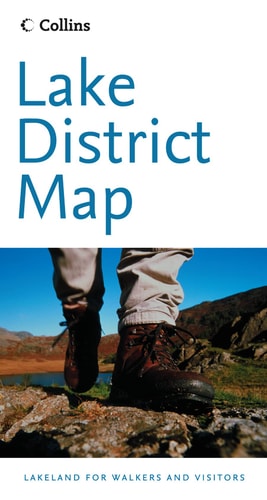
Lake District Map
0
0
As an Amazon Associate and affiliate partner, Menrva Books earns from qualifying purchases. Learn more
Author Description
Product Description Folded reference map of the Lake District. The Lake District National Park covers the majority of the Lake District, Cumbria northwest England. Scale 1:63,360. Distinguishes roads ranging from motorways to other roads. Legend includes tracks/footpaths, public right of way, youth hostels, sites of antiquity, national park information centres, information points, forest park boundaries, national park boundaries, contours of altitude. About the Author Collins maps are published by Harper Collins, one of the top publishing houses in the United Kingdom. Their line of travel maps and road atlases includes annually updated road maps of European countries, detailed continent maps with stunning covers featuring satellite imagery, recreational maps such as the Golf Map of Ireland, and country maps designed for independent travelers.
Menrva's Summary
THE THESIS
This reference map provides a comprehensive cartographic overview of the Lake District National Park to assist travelers and hikers in navigating the region's complex topography. The publication, produced by the established cartographic division of HarperCollins, utilizes a standard 1:63,360 scale to translate the physical landscape of Cumbria into a portable, folded format. It serves as a practical tool for identifying infrastructure, elevation, and points of interest within the national park boundaries.
THE SCOPE MAP
What You Will Find
- Detailed road classification ranging from motorways to minor thoroughfares
- Topographical data including altitude contours and forest park boundaries
- Infrastructure markers for youth hostels, information centers, and public rights of way
- Historical and recreational indicators such as sites of antiquity and walking tracks
THE AUTHORITY PERSPECTIVE
The subject matter points to a standard, functional reference tool designed for practical navigation and outdoor planning in a popular tourist region. The inclusion of specific cartographic legends suggests a focus on utility for independent travelers and hikers requiring reliable physical documentation of the terrain.
Page Count:
1
Publication Date:
2005-02-07
Publisher:
Collins
ISBN-10:
0007184638
ISBN-13:
9780007184637
Travel
Reference
Europe
United Kingdom
General
Geography
Maps
Community Tags
Similar Books