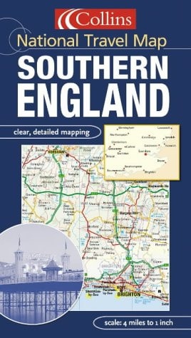
Southern England
0
0
As an Amazon Associate and affiliate partner, Menrva Books earns from qualifying purchases. Learn more
Author Description
1:250,000, 4 miles to 1 inch. Attractive map of the whole of southern England featuring Collins mapping. This fully indexed map is packed with detail and has layer colouring to show land height.MAIN FEATURES Detailed Collins mapping with layer colours to show height Extremely attractive and easy to read All roads colour classifiedINCLUDES Places of tourist information included Ferry routes & airports shown Distances shown on roads Full index to place namesAREA OF COVERAGEExtends to Cornwall in the west, Northampton and Cambridge in the north, to the coast in the east and south.WHO THE PRODUCT IS OF INTEREST TOThis map is ideal for wall mounting or for use in the vehicle and is suitable for both business or pleasure motoring.
Menrva's Summary
THE THESIS
This map provides a comprehensive, high-detail cartographic representation of Southern England designed for navigation and regional planning. The publication utilizes Collins' established cartographic standards to present a 1:250,000 scale view of the landscape, integrating topographical data with infrastructure information. It serves as a practical tool for motorists and travelers requiring a clear, indexed overview of the region's road networks and geographical features.
THE SCOPE MAP
What You Will Find
- Detailed road network classification for navigation
- Layered color-coding to indicate land elevation and topography
- Comprehensive index of place names for rapid location
- Inclusion of transit infrastructure such as ferry routes and airports
THE AUTHORITY PERSPECTIVE
The map is regarded as a functional, standard-issue reference tool for those navigating the southern counties of England. Its reliance on established Collins mapping ensures a consistent and reliable visual language for both professional and recreational users.
Page Count:
0
Publication Date:
2005-01-01
Publisher:
Harpercollins Pub Ltd
ISBN-10:
0007184298
ISBN-13:
9780007184293
Travel
England
Reference
South & South East England
Maps
Geography
Community Tags
Similar Books