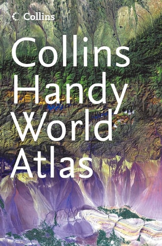
Collins Handy World Atlas
0
0
As an Amazon Associate and affiliate partner, Menrva Books earns from qualifying purchases. Learn more
Author Description
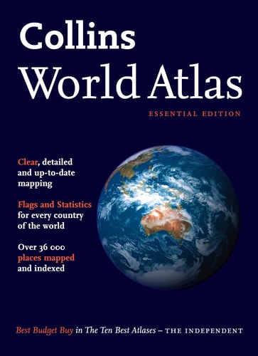
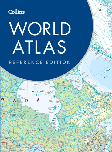
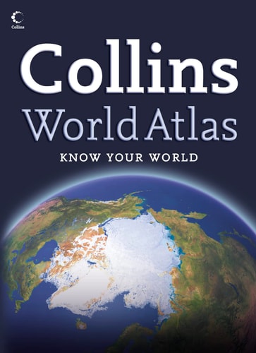
A new handy format world atlas in the exciting new Collins atlas range. Presenting a new view of the world through innovative maps and dynamic presentation of world information. Collins world atlases provide an exciting new view of the world through innovative mapping and the dynamic presentation of world information. This new atlas brings the distinctive new Collins style into an easy to use, portable format. Detailed maps, with each country clearly identified by 'political' colouring, provide balanced and up-to-date coverage of the world. The maps rely on the latest cartographic technology to ensure their accuracy, accessibility and distinctive style. The level of detail is impressive for such a small format atlas, and the index contains references to over 20,000 place names. The reference maps are complemented by thematic maps showing the world's physical features and countries, and by maps and statistics on major geographical themes including climate, population and time zones. Hundreds of world and continental facts and statistics are included. In addition, a comprehensive guide to the world's states and territories, including flags and details of area, population, capital, languages, religions and currency make this a perfect atlas for quick reference in the office, the home or at school or college. The atlas includes * over 100 pages of detailed reference maps of the whole world. * maps of the world's countries and physical features and of major themes -- climate, population, environment, time zones * reference data for each country including flags, area, population, capital city and currency * continental facts * index to over 20,000 place names
Menrva's Summary
THE THESIS
This atlas serves as a portable, high-density reference tool designed to provide accurate, up-to-date cartographic and statistical data for global navigation and study. The work utilizes modern cartographic technology to distill complex geographical information into a compact format suitable for home, office, or academic environments. By integrating political mapping with thematic data, the authors provide a comprehensive overview of world states, territories, and physical features.
THE SCOPE MAP
What You Will Find
- Over 100 pages of detailed political reference maps covering the entire globe.
- Thematic mapping focused on climate, population, environment, and time zones.
- Statistical data for every country, including flags, area, population, capital cities, and currency.
- An extensive index containing references to over 20,000 distinct place names.
THE AUTHORITY PERSPECTIVE
The framing suggests a highly accessible, utilitarian resource intended for students and general users requiring quick, reliable geographical information. Its focus on portability and dense data presentation indicates a design priority centered on functional utility rather than exhaustive academic depth.
Page Count:
256
Publication Date:
2005-02-01
Publisher:
Collins
ISBN-10:
0007195222
ISBN-13:
9780007195220
Atlases
Geography
Atlases & Maps
Reference
Maps
ScienceMathematics
Education
Community Tags
Similar Books