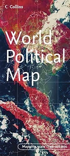
World Political Map (English, Spanish, French and Japanese Edition)
0
0
As an Amazon Associate and affiliate partner, Menrva Books earns from qualifying purchases. Learn more
Author Description
Product Description Folded World Political Map in color. Scale 1:30,000,000. Legend includes major cities, international boundaries, roads, airports, railways, summits. Shows flags of all the countries with area square kilometres, square miles, population, capitol, currency and official website. About the Author Collins maps are published by Harper Collins, one of the top publishing houses in the United Kingdom. Their line of travel maps and road atlases includes annually updated road maps of European countries, detailed continent maps with stunning covers featuring satellite imagery, recreational maps such as the Golf Map of Ireland, and country maps designed for independent travelers.
Menrva's Summary
THE THESIS
This reference work provides a comprehensive, multi-lingual visual representation of global political geography and essential nation-state data. The publication, produced by the cartographic division of HarperCollins, utilizes a standardized 1:30,000,000 scale to organize complex geopolitical information into an accessible, folded format. It serves as a primary reference tool for students, travelers, and researchers requiring quick access to international boundaries and demographic statistics.
THE SCOPE MAP
What You Will Find
- Global political boundaries and major international infrastructure including roads, railways, and airports.
- A comprehensive legend detailing national capitals, major cities, and mountain summits.
- Statistical data for every country including population, area in square kilometers and miles, currency, and official government websites.
- A visual index of national flags for all sovereign states.
THE AUTHORITY PERSPECTIVE
This map is regarded as a standard, utilitarian reference tool suitable for educational and general reference environments. Its multi-lingual approach and inclusion of specific demographic data points suggest a focus on broad accessibility and practical utility for international users.
Page Count:
2
Publication Date:
2005-09-05
Publisher:
Collins
ISBN-10:
0007207174
ISBN-13:
9780007207176
Travel
Words Language & Grammar
France
Study & Teaching
Education Teaching
Geography
Foreign Study
Atlases
Reference
Schools & Teaching
Europe
Maps
Education
Community Tags
Similar Books