Nicholson Guide to the Waterways: Volume 6
0
0
As an Amazon Associate and affiliate partner, Menrva Books earns from qualifying purchases. Learn more
Author Description
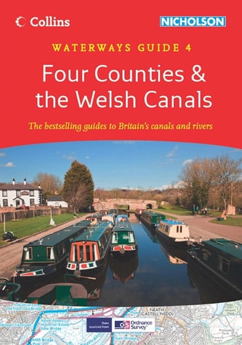
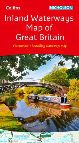
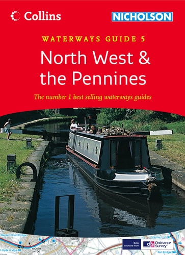
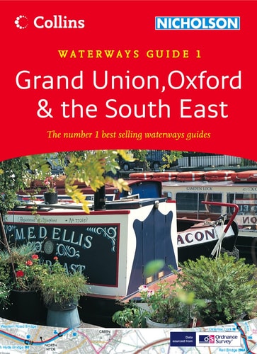
Colour maps clearly showing locks, towpaths and boating facilities as well as comprehensive navigational notes. First published in the 1970s, the "Collins/Nicholson" guides to the waterways are designed for anyone and everyone with an interest in Britain's inland waterways - experienced boaters and those planning their first boat trip, walkers, cyclists and visitors. Maps show: locks, bridges, tunnels, aqueducts, winding holes and the towpath; waterpoints, sanitary stations, pump out facilities and refuse disposal; boatyards, pubs, restaurants and shops; mile markers and milestones (distance in miles and number of locks to strategic points along the waterways). Text includes: the history of each canal; local services and places of interest, pubs and restaurants; opportunities for walking and cycling. Comprehensive navigational notes include: maximum dimensions and low bridges; mileages, advice and potential hazards; navigation authorities and contact details. Waterways covered in this guide - Aire and Calder Navigation, Chesterfield Canal, River Derwent, Fossdyke and Witham Navigations, River Ouse, River Ure and Ripon Canal, Pocklington Canal, Selby Canal, Sheffield and South Yorkshire Navigation, River Trent.
Menrva's Summary
THE THESIS
This guide serves as a comprehensive navigational and logistical reference for individuals exploring the inland waterways of Britain. The publication provides essential data for boaters, walkers, and cyclists, offering a structured framework for identifying infrastructure, local services, and historical context across specific canal and river systems. By synthesizing navigational requirements with recreational points of interest, the text functions as a primary planning tool for both novice and experienced waterway users.
THE SCOPE MAP
What You Will Find
- Detailed cartography illustrating locks, bridges, tunnels, and aqueducts.
- Practical data on sanitary stations, waterpoints, and refuse disposal facilities.
- Navigational specifications including maximum dimensions, low bridges, and hazard warnings.
- Historical summaries and local service listings for pubs, restaurants, and boatyards.
THE AUTHORITY PERSPECTIVE
The Nicholson guides are widely regarded as the standard reference for British canal navigation due to their consistent inclusion of technical detail and local amenities. The systematic presentation of data makes this volume a reliable resource for planning transit through the specific waterways of Northern and Central England.
Page Count:
168
Publication Date:
2006-03-06
Publisher:
Harper Collins
ISBN-10:
0007211147
ISBN-13:
9780007211142
Travel
Great Britain
Guidebook
Reference
Canals
Europe
Boating
Community Tags
Similar Books