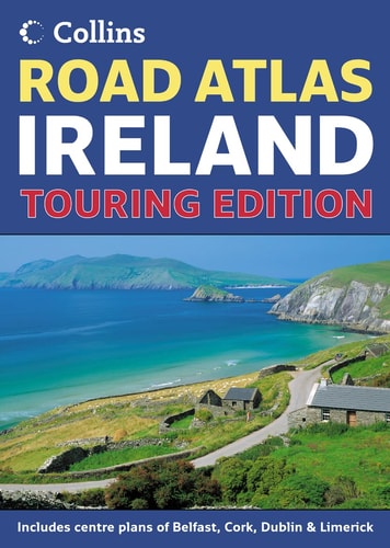
Road Atlas Ireland
0
0
As an Amazon Associate and affiliate partner, Menrva Books earns from qualifying purchases. Learn more
Author Description
This road atlas, 5.2 miles to 1 inch, 1:328,000, has a section on tourist information, with addresses and telephone numbers referenced to the map, distance chart and radio station information. It also includes places of interest and a range of indexed town and city centre street plans.
Menrva's Summary
THE THESIS
This road atlas provides a comprehensive navigational framework for traversing the Irish landscape through detailed cartographic data and supplemental travel information. Collins UK, a long-standing publisher of cartographic materials, utilizes a scale of 5.2 miles to 1 inch to offer a balance between regional overview and local detail. The volume integrates geographical data with practical logistics to assist travelers in planning routes and identifying points of interest across the island.
THE SCOPE MAP
What You Will Find
- Detailed road network mapping at a 1:328,000 scale
- Indexed street plans for major town and city centers
- Comprehensive tourist information including contact details for regional attractions
- Distance charts and radio frequency listings for regional navigation
THE AUTHORITY PERSPECTIVE
The content suggests a highly functional, utilitarian resource designed for physical navigation in an era preceding ubiquitous digital GPS reliance. Its inclusion of specific contact data and city-center plans indicates a focus on the needs of the independent traveler requiring offline reference material.
Page Count:
64
Publication Date:
2007-01-01
Publisher:
HarperCollins Publishers Limited
ISBN-10:
0007229828
ISBN-13:
9780007229826
Travel
Road maps
Maps
Ireland
Europe
Geography
Reference
Community Tags
Similar Books