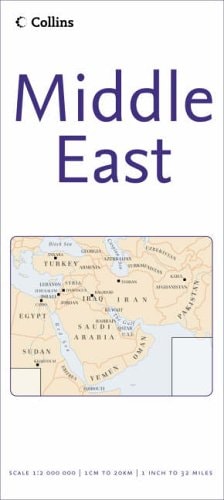
Middle East Map
0
0
As an Amazon Associate and affiliate partner, Menrva Books earns from qualifying purchases. Learn more
Author Description
Folded road/reference map in color. Scale 1:2,000,000. Distinguishes roads ranging from motorways to secondary roads. Legend includes tracks, main/secondary railways, main/regional airports, rock deserts, sand deserts/dunes, lava fields, escarpments, passes, volcanos. Includes extensive place index.
Menrva's Summary
THE THESIS
This reference work provides a comprehensive cartographic representation of the Middle East to facilitate navigation and regional analysis. The map is produced by Collins, a publisher known for its long-standing cartographic expertise and standardized reference materials. It utilizes a 1:2,000,000 scale to present a detailed overview of the region's infrastructure and physical geography for travelers and researchers.
THE SCOPE MAP
What You Will Find
- Detailed road network classification ranging from motorways to secondary routes
- Physical geography markers including sand dunes, lava fields, and escarpments
- Transportation infrastructure data such as railways and regional airports
- An extensive place index for rapid location identification
THE AUTHORITY PERSPECTIVE
The map serves as a functional, high-density reference tool designed for practical application in navigation and spatial planning. Its reliance on standardized cartographic symbols and a clear legend suggests a focus on utility for both professional and casual users requiring reliable regional data.
Page Count:
1
Publication Date:
2006-08-16
Publisher:
COLLINS
ISBN-10:
0007233116
ISBN-13:
9780007233113
Travel
Asia
Reference
Maps
General
Middle East
Geography
Atlases & Maps
Community Tags
Similar Books