Map of France
0
0
As an Amazon Associate and affiliate partner, Menrva Books earns from qualifying purchases. Learn more
Author Description
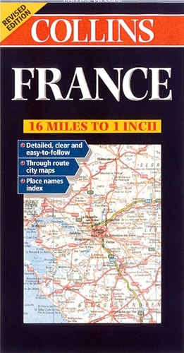
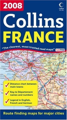
Folded, indexed, road map of France, showing all major and many minor roads, cities and towns, at a scale of 1:1000,000 (1 " to 16 miles). Map shows railways, car ferries, national parks, mountain summits, and international airports. Map includes insets of Paris, Strasbourg, Lyon, Toulouse, and Marseille. Legend is in English, French, and German.
Menrva's Summary
THE THESIS
This reference work provides a comprehensive cartographic representation of the French road network and infrastructure to facilitate navigation and spatial orientation. The document serves as a practical tool for travelers, utilizing a standardized 1:1,000,000 scale to detail the connectivity between major urban centers and rural regions. By integrating topographical data with transit information, the map offers a structured overview of the nation's physical and logistical landscape.
THE SCOPE MAP
What You Will Find
- Detailed road network including major highways and minor secondary routes
- Infrastructure markers for railways, international airports, and car ferry terminals
- Topographical features such as mountain summits and national park boundaries
- Inset city maps for Paris, Lyon, Marseille, Toulouse, and Strasbourg
- Multilingual legend supporting English, French, and German users
THE AUTHORITY PERSPECTIVE
The document functions as a standard navigational aid, prioritizing clarity and utility for cross-border travel. Its inclusion of multilingual legends and specific urban insets suggests a design intended for international tourists and motorists requiring reliable, offline spatial data.
Page Count:
0
Publication Date:
2007-10-01
Publisher:
Collins
ISBN-10:
0007259824
ISBN-13:
9780007259823
Travel
France
Geography
Reference
Maps
Community Tags
Similar Books