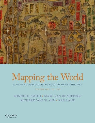
Mapping the World: A Mapping and Coloring Book of World History, Volume One: To 1500
0
0
As an Amazon Associate and affiliate partner, Menrva Books earns from qualifying purchases. Learn more
Author Description
This two-volume workbook includes approximately thirty-five reference maps and fifty outline maps that provide opportunities to deepen understanding of world history through coloring exercises.
Menrva's Summary
THE THESIS
How can visual engagement and cartographic exercises reinforce the retention of complex historical developments across global civilizations? The authors, a team of distinguished historians and educators, utilize a structured workbook format to bridge the gap between abstract historical narratives and spatial understanding. By integrating reference maps with interactive coloring exercises, the text provides a pedagogical framework designed to ground chronological events in their specific geographic contexts.
THE SCOPE MAP
What You Will Find
- Approximately thirty-five detailed reference maps covering global history up to 1500.
- Fifty distinct outline maps designed for student annotation and coloring.
- Chronological coverage spanning early civilizations through the late Middle Ages.
Scope Limits
- The volume does not provide exhaustive narrative text, focusing instead on visual and spatial learning.
- The scope is strictly limited to historical events occurring prior to the year 1500.
THE AUTHORITY PERSPECTIVE
Educators frequently utilize this text as a supplementary tool to enhance student engagement with historical geography. Experts highlight the workbook as a practical resource for visual learners who require spatial context to better grasp the expansion and interaction of pre-modern societies.
Page Count:
130
Publication Date:
2018-11-20
Publisher:
Oxford University Press
ISBN-10:
0190922419
ISBN-13:
9780190922412
History
Education
World history
Workbook
Geography
Historical geography
Community Tags
Similar Books