Collins Discovering London
0
0
As an Amazon Associate and affiliate partner, Menrva Books earns from qualifying purchases. Learn more
Author Description
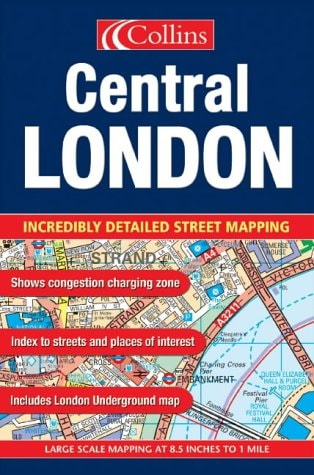
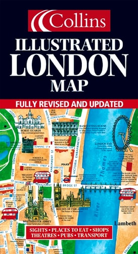
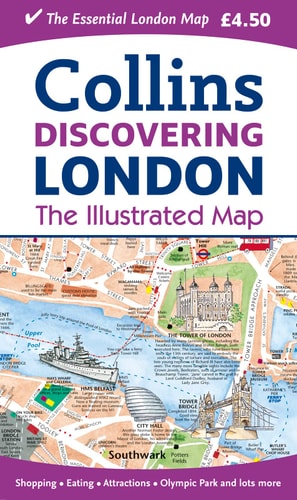
A new edition of London’s most original map. This hand-watercoloured map contains individual paintings of all the main sites and landmarks, shop-by-shop street maps, theatres and cinemas, comprehensive travel information and index. Street by street detailed map of Central London at a scale of 1:8,250 (7.5 inches to 1 mile).This popular illustrated map of London extends from Regents Park in the North to Battersea in the South and from Kensington in the West to Tower Bridge in the East.This attractive, fact-filled map includes:Railway stations, bus routes, London underground map, taxi ranks and car parks.Shop-by-shop street maps for Oxford Street, Bond Street, Covent Garden, Portobello Road, King’s Road, Brompton Cross, Exmouth Market, Beauchamp Place, St. Christopher’s Place and South Molton Street, Knightsbridge, Jermyn Street and Kensington.London’s theatres and cinemas.Places to eat, internet cafés and good places for a picnic.An inset map of the City of London.Comprehensive index.Historical and contemporary anecdotes.OTHER TITLES IN THE SERIESDiscovering EdinburghDiscovering Dublin
Menrva's Summary
THE THESIS
This publication serves as a comprehensive, illustrated cartographic guide designed to assist visitors and residents in navigating the complex urban landscape of Central London. The work utilizes detailed, hand-watercolored mapping techniques to provide both a broad overview of major landmarks and granular, shop-by-shop street-level information. By integrating practical transit data with historical anecdotes, the guide functions as a multifaceted tool for urban exploration.
THE SCOPE MAP
What You Will Find
- Detailed street-level maps of major commercial districts including Oxford Street, Covent Garden, and Knightsbridge.
- Comprehensive transit data covering railway stations, bus routes, London Underground lines, and taxi ranks.
- An inset map specifically focused on the City of London for enhanced navigation of the financial district.
- Curated lists of amenities such as theatres, cinemas, internet cafés, and picnic locations.
- Historical and contemporary anecdotes providing context to the physical landmarks depicted.
THE AUTHORITY PERSPECTIVE
The material suggests a highly practical, visual-first approach to urban navigation that prioritizes accessibility for tourists and casual explorers. Its focus on specific retail corridors and transit infrastructure indicates a design intended for on-the-ground utility rather than academic study.
Page Count:
1
Publication Date:
2012-02-01
Publisher:
HarperCollins UK
ISBN-10:
000745242X
ISBN-13:
9780007452422
Travel
Maps
Guidebook
London
Reference
Community Tags
Similar Books