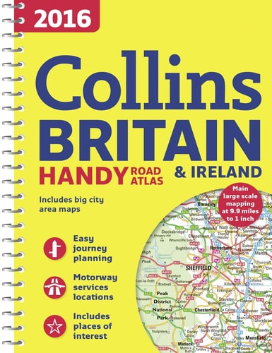
2016 Collins Handy Road Atlas Britain
0
0
As an Amazon Associate and affiliate partner, Menrva Books earns from qualifying purchases. Learn more
Author Description
This easy-to-use, handy A5 sized road atlas with popular lie-flat spiral binding features extremely clear route planning maps of Britain and Ireland and fits neatly into your glove box, briefcase or bag. The atlas has been fully updated for 2016.The maps of Britain are at 9.9 miles to 1 inch (1:625,000) and the whole of Ireland is covered at 15.8 miles to 1 inch (1:1,000,000). There are also a selection of more detailed urban area maps at 4.5 miles to 1 inch (1:285,000) to aid route planning in these busy areas.The atlas includes: Road maps that focus on the main roads, motorways and settlements. More detailed maps of London, Manchester, Merseyside and West Midlands. Park & Ride locations (for bus and rail). Handy distance calculator chart highlighting distances between the major towns.
Menrva's Summary
THE THESIS
This atlas provides detailed, up-to-date road maps for route planning across Britain and Ireland.
THE SCOPE MAP
- Road maps of Britain at 9.9 miles to 1 inch (1:625,000) and Ireland at 15.8 miles to 1 inch (1:1,000,000).
- Detailed urban area maps at 4.5 miles to 1 inch (1:285,000) for London, Manchester, Merseyside, and West Midlands.
- Focus on main roads, motorways, and settlements.
- Inclusion of Park & Ride locations for bus and rail.
- A handy distance calculator chart highlighting distances between major towns.
THE AUTHORITY PERSPECTIVE
This atlas is designed for practical use, offering clear and updated cartography for travelers. Its A5, spiral-bound format ensures ease of use and portability, fitting conveniently into a vehicle or bag. The inclusion of detailed urban maps and a distance calculator enhances its utility for both casual and serious route planning.
Page Count:
80
Publication Date:
2015-06-18
Publisher:
HarperCollins Publishers Limited
ISBN-10:
0008102317
ISBN-13:
9780008102319
Non-Fiction
Travel
Great Britain
Ireland
Reference
Directories
Europe
Automotive
Transportation
Road maps
Maps
Community Tags
Similar Books