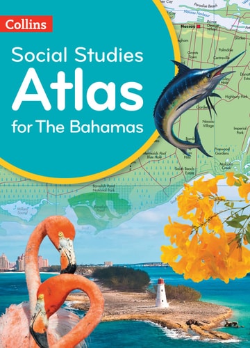
Collins Social Studies Atlas for the Bahamas
0
0
As an Amazon Associate and affiliate partner, Menrva Books earns from qualifying purchases. Learn more
Author Description
Prepared specifically to support social studies, map skills, early geography skills plus history and heritage topics in the Commonwealth of the Bahamas Social Studies curricula for upper primary and lower secondary.The atlas is fully illustrated and includes the most up to date reference and thematic mapping of the Bahamas, countries within the Caribbean Community and the broader Caribbean region. Maps are fully supported with illustrations, photographs and data. World maps cover international issues which have a bearing on Caribbean development.
Menrva's Summary
THE THESIS
This atlas is designed to support the social studies curriculum in the Bahamas, focusing on map skills, geography, history, and heritage for upper primary and lower secondary students. It provides comprehensive and up-to-date mapping of the Bahamas, the Caribbean Community, and the wider Caribbean region, integrating reference and thematic maps with rich visual and data-driven content. The atlas aims to connect local and regional knowledge with global contexts relevant to Caribbean development.
THE SCOPE MAP
- Reference and thematic maps of the Bahamas, CARICOM countries, and the broader Caribbean region.
- Illustrations, photographs, and data supporting map content.
- Coverage of early geography, map skills, history, and heritage topics specific to the Bahamas.
- World maps addressing international issues impacting Caribbean development.
- Content aligned with upper primary and lower secondary social studies curricula.
THE AUTHORITY PERSPECTIVE
This atlas is a specialized educational resource, likely valued by educators and students within the Bahamian school system for its targeted curriculum support. Its strength lies in its comprehensive and current mapping of the region, augmented by diverse visual and data elements. The inclusion of world maps that contextualize global issues for the Caribbean suggests a pedagogical approach that broadens understanding beyond local geography.
Page Count:
112
Publication Date:
2019-04-04
Publisher:
Collins
ISBN-10:
0008342660
ISBN-13:
9780008342661
Non-Fiction
Science & Technology
History
Travel
Science & Math
Earth Sciences
Social Science
Atlases & Maps
Instruction Methods
Bahamas
Education Teaching
Caribbean
Education & Reference
Caribbean Studies
Philosophy history
Social Studies
Schools & Teaching
Education
Reference
Geography
Community Tags
Similar Books