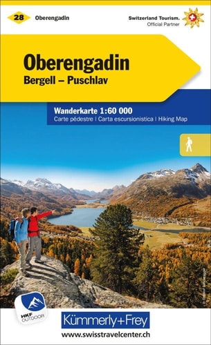
Oberengadin
0
0
As an Amazon Associate and affiliate partner, Menrva Books earns from qualifying purchases. Learn more
Author Description
This hiking map shows three grades of hiking route; hiking path, mountain path and alpine path. It includes bus routes, railways, chair lifts, cable car lines, campsites, hostels, mountain huts, hotels, and points of interest.
Menrva's Summary
THE THESIS
This hiking map details the Oberengadin region of Switzerland, providing comprehensive cartographic information for outdoor enthusiasts. Developed by Hallwag Kummerly Frey AG, a renowned cartography publisher, the map utilizes a detailed system to differentiate between various types of hiking routes, including standard hiking paths, more challenging mountain paths, and demanding alpine paths. It serves as an essential navigational tool for exploring the area's diverse terrain and amenities.
THE SCOPE MAP
- Three grades of hiking routes: hiking path, mountain path, and alpine path.
- Transportation infrastructure: bus routes, railways, chair lifts, and cable car lines.
- Accommodation and rest points: campsites, hostels, mountain huts, and hotels.
- Points of interest for navigation and exploration.
THE AUTHORITY PERSPECTIVE
This map is a specialized tool for hikers and travelers focusing on the Oberengadin region. Its detailed classification of trails and inclusion of transportation and accommodation options suggest it is designed for practical use during outdoor excursions. The publisher's reputation implies a high standard of cartographic accuracy and detail, catering to those who require precise navigational aids for mountainous terrain.
Page Count:
1
Publication Date:
2015-06-01
Publisher:
Hallwag Kummerly Frey AG
ISBN-10:
3259022287
ISBN-13:
9783259022283
Travel
Non-Fiction
Switzerland
Hiking
Maps
Community Tags
Similar Books