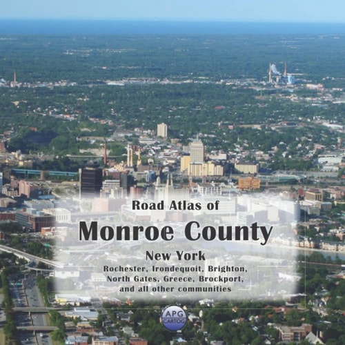
Road Atlas of Monroe County, New York: Rochester, Irondequoit, Brighton, North Gates, Greece, Brockport, and all other communities
0
0
As an Amazon Associate and affiliate partner, Menrva Books earns from qualifying purchases. Learn more
Author Description
Tired of squinting at a phone screen? Need a detailed, printed map while you’re on the go? This atlas shows all of Monroe County, New York, including the entire Rochester metro area, in an easily readable format, including all streets, roads, rivers, streams, lakes, railways, cities, towns, and localities. Each 8- by 8-inch page represents a 3- by 3-mile square, allowing for a great level of detail. The grid reference map at the beginning makes it easy to find your page quickly. Landmarks shown: Airports, cemeteries, natural features, schools, places of worship, hospitals, parks, post offices, springs, towers, and municipal/county boundaries. Keep exploring even when you lose your GPS signal! Get ready for your next adventure. The 8' x 8' size of this atlas makes it easy to handle while you're out on the road.
Menrva's Summary
THE THESIS
This atlas provides a detailed printed map of Monroe County, New York, designed for easy navigation and reference. It covers the entire Rochester metro area and all other communities within the county, displaying streets, roads, rivers, streams, lakes, railways, cities, towns, and localities. Each page, measuring 8 by 8 inches, represents a 3- by 3-mile area, ensuring a high level of detail for users. A grid reference map is included at the beginning to facilitate quick page location.
THE SCOPE MAP
- Comprehensive street and road mapping for all of Monroe County, New York.
- Detailed depiction of natural features including rivers, streams, and lakes.
- Inclusion of infrastructure such as railways and major transportation routes.
- Identification of cities, towns, and smaller localities.
- Specific landmarks shown: Airports, cemeteries, natural features, schools, places of worship, hospitals, parks, post offices, springs, and towers.
- Clear display of municipal and county boundaries.
- Each page covers a 3x3 mile area for enhanced detail.
- Grid reference map for easy navigation within the atlas.
THE AUTHORITY PERSPECTIVE
This atlas is presented as a practical tool for those needing detailed, printed maps of Monroe County, New York, particularly useful when GPS signals are unavailable. The format emphasizes readability and ease of handling while on the road. The inclusion of a wide array of landmarks and geographical features aims to serve travelers, residents, and researchers alike.
Page Count:
96
Publication Date:
2022-04-16
Publisher:
Independently published
ISBN-13:
9798803588269
Non-Fiction
Travel
Reference
Local History
Community Tags
Similar Books