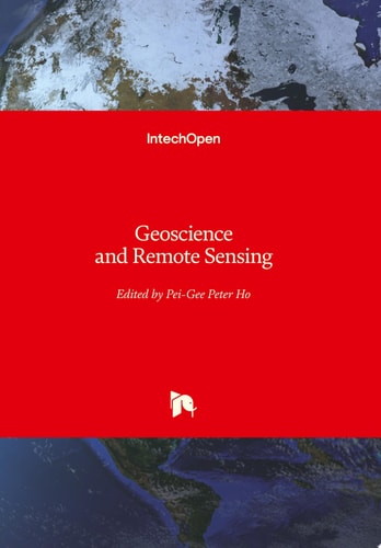
Geoscience and Remote Sensing
0
0
As an Amazon Associate and affiliate partner, Menrva Books earns from qualifying purchases. Learn more
Author Description
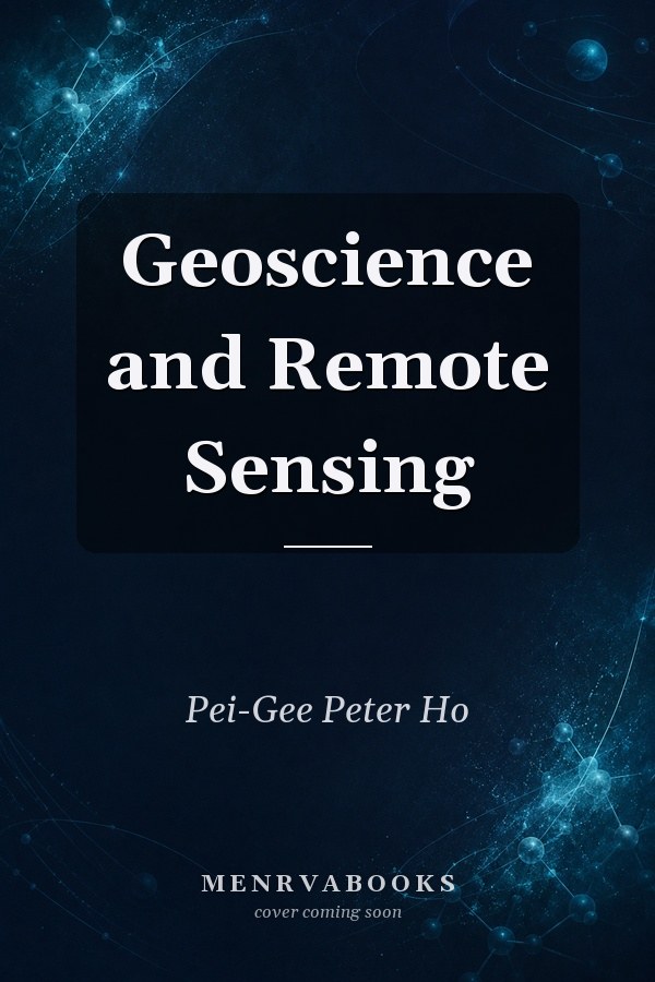
Remote Sensing is collecting and interpreting information on targets without being in physical contact with the objects. Aircraft, satellites...etc are the major platforms for remote sensing observations. Unlike electrical, magnetic and gravity surveys that measure force fields, remote sensing technology is commonly referred to methods that employ electromagnetic energy as radio waves, light and heat as the means of detecting and measuring target characteristics. Geoscience is a study of nature world from the core of the earth, to the depths of oceans and to the outer space. This branch of study can help mitigate volcanic eruptions, floods, landslides... etc terrible human life disaster and help develop ground water, mineral ores, fossil fuels and construction materials. Also, it studies physical, chemical reactions to understand the distribution of the nature resources. Therefore, the geoscience encompass earth, atmospheric, oceanography, pedology, petrology, mineralogy, hydrology and geology. This book covers latest and futuristic developments in remote sensing novel theory and applications by numerous scholars, researchers and experts. It is organized into 26 excellent chapters which include optical and infrared modeling, microwave scattering propagation, forests and vegetation, soils, ocean temperature, geographic information, object classification, data mining, image processing, passive optical sensor, multispectral and hyperspectral sensing, lidar, radiometer instruments, calibration, active microwave and SAR processing. Last but not the least, this book presented chapters that highlight frontier works in remote sensing information processing. I am very pleased to have leaders in the field to prepare and contribute their most current research and development work. Although no attempt is made to cover every topic in remote sensing and geoscience, these entire 26 remote sensing technology chapters shall give readers a good insight. All topics listed are equal
Menrva's Summary
THE THESIS
This book investigates the latest and most futuristic developments in remote sensing theory and applications within the broad field of geoscience. It covers a wide array of topics, from optical and infrared modeling to microwave scattering, and explores applications in forests, vegetation, soils, and oceanography. The text also delves into geographic information systems, object classification, data mining, and image processing techniques, utilizing electromagnetic energy as its primary means of detection and measurement.
THE SCOPE MAP
- Optical and infrared modeling
- Microwave scattering and propagation
- Applications in forests and vegetation analysis
- Remote sensing of soils and ocean temperature
- Geographic information systems and object classification
- Data mining and image processing techniques
- Passive optical sensors, multispectral and hyperspectral sensing
- Lidar, radiometer instruments, and calibration
- Active microwave and SAR processing
- Frontier works in remote sensing information processing
THE AUTHORITY PERSPECTIVE
This collection of 26 chapters presents a comprehensive overview of current and emerging trends in remote sensing and geoscience, contributed by numerous scholars, researchers, and experts in the field. While not exhaustive, the book aims to provide readers with a solid understanding of the technology and its applications. The contributions highlight frontier research and development, offering insights into the diverse ways remote sensing is used to study the Earth and its resources. The compilation emphasizes the practical applications of electromagnetic energy for detecting and measuring target characteristics across various domains.
Page Count:
610
Publication Date:
2009-10-01
Publisher:
BoD – Books on Demand
ISBN-10:
953307003X
ISBN-13:
9789533070032
Science
Non-Fiction
Image Processing
Geoscience
Remote sensing
Earth Science
Data Mining
Community Tags
Similar Books