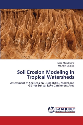
Soil Erosion Modeling in Tropical Watersheds
0
0
As an Amazon Associate and affiliate partner, Menrva Books earns from qualifying purchases. Learn more
Author Description
Soil erosion is one of the severe problems in most countries especially in tropical area. Rapid development and urbanization cause massive land use changes, which leads to an increase in soil erosion rate, particularly from highlands, which results in sediment deposition in lower region. Sungai Raya is a sub-district of Kinta in Perak State, Malaysia. Several changes had occurred in Sungai Raya catchment due to the tourism development, urbanization and industrialization. Current research present soil erosion investigation that has been conducted for Sungai Raya catchment based on Revised Universal Soil Loss Equation (RUSLE) model. The RUSLE model was combined with both Remote Sensing (RS) and Geographic Information System (GIS) techniques to analyze quantity of soil loss in the study area.Modeling factors such as rainfall erosivity, soil erodibility, topographic factor, cover management factor and protection practices, reveal that soil erosion occurs mostly in cropland and mining areas. The estimated erosion rate is more than 2500 ton/ha/yr. Indeed, erosion value is classified in critical level according to the soil erosion risk classification for Malaysia.
Menrva's Summary
THE THESIS
This study investigates the critical issue of soil erosion in tropical watersheds, focusing on the Sungai Raya catchment in Malaysia. The research addresses the accelerated soil loss resulting from rapid development and urbanization, which alters land use and leads to sediment deposition. Utilizing the Revised Universal Soil Loss Equation (RUSLE) model integrated with Remote Sensing (RS) and Geographic Information System (GIS) techniques, the authors analyze soil loss quantities. Key factors such as rainfall erosivity, soil erodibility, topography, land cover, and conservation practices are modeled to identify erosion hotspots.
THE SCOPE MAP
- Application of the Revised Universal Soil Loss Equation (RUSLE) model.
- Integration of Remote Sensing (RS) and Geographic Information System (GIS) techniques for spatial analysis.
- Analysis of key soil erosion factors: rainfall erosivity, soil erodibility, topographic factor, cover management factor, and protection practices.
- Identification of areas with high soil erosion rates, particularly cropland and mining areas.
- Estimation of soil erosion rates exceeding 2500 ton/ha/yr in the study area.
- Classification of erosion risk levels according to Malaysian standards, indicating critical levels.
THE AUTHORITY PERSPECTIVE
The study presents a detailed analysis of soil erosion in a specific tropical watershed using established modeling techniques. The integration of RUSLE with RS and GIS provides a robust framework for assessing erosion risk and identifying critical areas. The findings indicate severe erosion rates in the Sungai Raya catchment, classifying the situation as critical according to Malaysian standards. This research offers valuable insights for land management and conservation efforts in similar tropical environments.
Page Count:
96
Publication Date:
2012-04-01
Publisher:
Lap Lambert Academic Publishing GmbH KG
ISBN-10:
3659000418
ISBN-13:
9783659000416
Science
Non-Fiction
Hydrology
Remote sensing
Geography
Community Tags
Similar Books