Jonathan Li profile picture

Jonathan Li

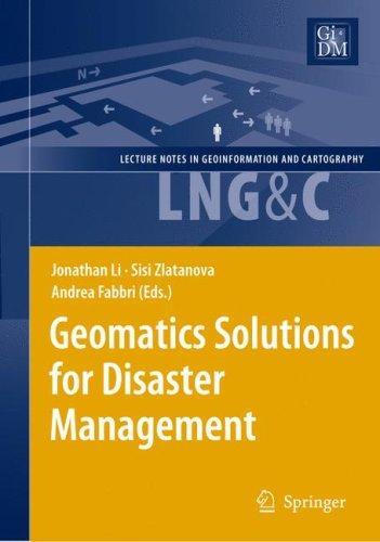
Geomatics Solutions for Disaster Management
Advances in Mapping: From Remote Sensor Imagery Techniques and Applications
International Symposium on Lidar and Radar Mapping 2011: Technologies and Applications
Advances In Mobile Mapping Technology
The Expressive Leader: How to Deliver Your Message Effectively, Confidently, and Have the Impact You Want on the Audience
Spatial Similarity Relations in Multi-scale Map Spaces
Advances in Mobile Mapping Technology
Geospatial Information Technology for Emergency Response
Geomatics Solutions for Disaster Management
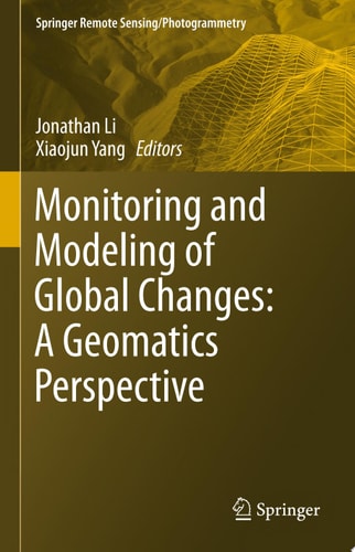
Monitoring and Modeling of Global Changes: A Geomatics Perspective
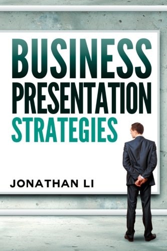
Business Presentation Strategies
Advances in Mobile Mapping Technology
Geospatial Information Technology For Emergency Response
Geospatial Information Technology for Emergency Response

See All