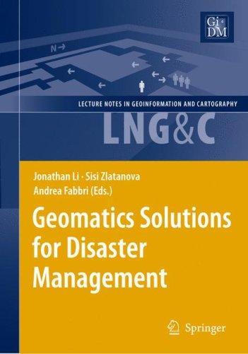
Geomatics Solutions for Disaster Management
0
0
As an Amazon Associate and affiliate partner, Menrva Books earns from qualifying purchases. Learn more
Author Description
Author description coming soon. We're reaching out to them in the ether...
Menrva's Summary
THE THESIS
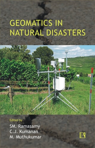
This book explores the critical role of geomatics technologies in mitigating and managing disasters. It details how geospatial information systems (GIS), remote sensing, and spatial analysis can be effectively applied to various stages of disaster management, from preparedness and early warning to response and recovery. The work synthesizes research and practical applications, aiming to provide a comprehensive overview for professionals and researchers in the field.
THE SCOPE MAP
- Applications of GIS and remote sensing in natural disaster monitoring (e.g., floods, earthquakes, wildfires).
- Techniques for spatial data acquisition, processing, and analysis for disaster scenarios.
- Case studies demonstrating the use of geomatics in real-world disaster management operations.
- Integration of geomatics with other technologies for enhanced disaster response.
- Challenges and future directions in applying geomatics to disaster management.
THE AUTHORITY PERSPECTIVE
This book is positioned as a technical resource for professionals and researchers engaged with disaster management and geospatial technologies. Its focus on practical applications and case studies suggests a utility for those seeking to understand or implement geomatics solutions in crisis situations. The synthesis of various geomatics techniques within the disaster management framework indicates a comprehensive approach to the subject matter.
Page Count:
464
Publication Date:
2010-01-01
ISBN-10:
3642091261
ISBN-13:
9783642091261
Science
Non-Fiction
Art
Spatial analysis
Geomatics
Remote sensing
Community Tags
Similar Books