NV-Charts Reg. 8.4: Florida, South, Plantation Key to Key West, 2016/17 Ed.
0
0
As an Amazon Associate and affiliate partner, Menrva Books earns from qualifying purchases. Learn more
Author Description
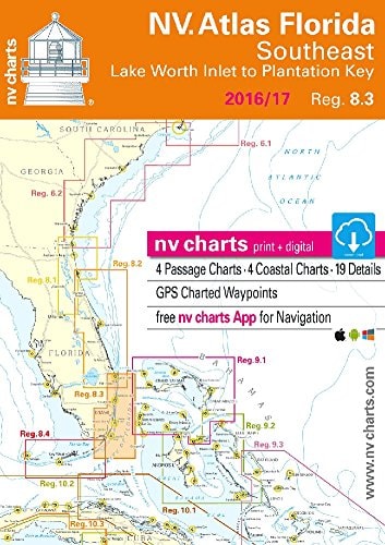
v-charts Reg. 8.4, Florida, South, Plantation Key to Key West & Dry Tortugas Format: Kombipack Papier / Digital download and App Charts Paper and digital Coastal Charts Revierkarten Details Including Dry Tortugas GPS Charted Waypoints & Approaches Practical to use and accurate in the information and data published: This is the basic concept with which we have developed the nv-charts. this Chart Kit is based on NOAA data with a new layout, clear cartography and international chart standards depths and heights are charted in feet north up chart orientation channel markers in red and green unique color differences, blue for the 6 ft and 18 ft dephts, and green for exposed tidal areas contour lines for 12 ft and 30ft depths under water reefs are clearly marked with a light green color and the reef above water in darker green variable shoals marked in grey-blue lighthouses illustrate their light characteristics for better identification seaworthy chart layout - perfect chart flow from one chart to the next standardized chart scales - passage charts 1:340,000 – coastal charts 1:45,000 and detail charts 1:25,000 or less waypoints with latitudes and longitudes for GPS input recommended courses with distances arrow-symbols show buoyage direction tide information on each chart
Menrva's Summary
THE THESIS
This chart kit provides detailed navigational information for the waters of South Florida, from Plantation Key to Key West and the Dry Tortugas, based on NOAA data and international chart standards. The NV Charts series aims for practical usability and accurate information, presenting depths and heights in feet, with clear color-coding for various depth contours and tidal areas. The charts include GPS charted waypoints, approaches, lighthouse characteristics, and recommended courses with distances, ensuring safe and efficient navigation for boaters in this region.
THE SCOPE MAP
- Detailed coverage of Florida's southern coast, including Plantation Key, Key West, and Dry Tortugas.
- Nautical charts based on NOAA data with a clear, international standard layout.
- Depths and heights charted in feet, with specific color-coding for 6 ft, 18 ft, and 12 ft/30 ft contour lines.
- Markings for exposed tidal areas, reefs (both submerged and above water), and variable shoals.
- Lighthouse identification with light characteristics.
- Standardized chart scales ranging from passage charts (1:340,000) to detail charts (1:25,000 or less).
- GPS waypoints with latitudes and longitudes, and recommended courses with distances.
THE AUTHORITY PERSPECTIVE
This navigational chart kit is designed for mariners requiring precise data for the South Florida coastal region. The emphasis on clear cartography, accurate depth information, and practical usability, derived from NOAA data, suggests a focus on safe and efficient passage. The inclusion of both paper and digital formats, along with detailed waypoints and navigational aids, caters to modern boating practices.
Page Count:
0
Publication Date:
2016-01-01
ISBN-10:
3945902347
ISBN-13:
9783945902349
Non-Fiction
Travel
Boating
Florida
Community Tags
Similar Books