Waterway Guide Southern
0
0
As an Amazon Associate and affiliate partner, Menrva Books earns from qualifying purchases. Learn more
Author Description
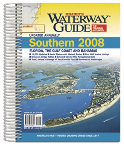
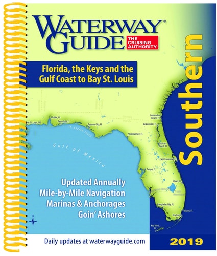
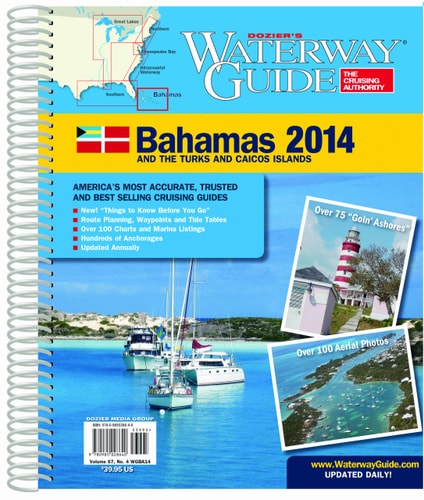
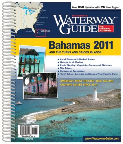
Southern Waterway Guide "Re-Designed for 2003!" This well-known cruising guide, one of three in a series, is updated annually to provide the most comprehensive and current data available. Information like marina listings, distance tables, cruising tips, repair yards, significant harbors, restaurants, rules of the road, customs, mail drops, pump-outs, holding tanks, and bridge schedules. This publication is 8.375" x 10.75" and 480 pages. This guide also includes detailed coast information on the below locations. Florida East Coast: Fernandina to St. Johns River / St. Johns River / Jacksonville Beach to Ponce de Leon Inlet / New Smyrna to Vero Beach / Fort Pierce to Stuart / Okeechobee Waterway / St. Lucie Inlet to Palm Beach / Lake Worth Inlet to Pompano Beach / Fort Lauderdale to Hallandale / North Miami / Miami Beach / Miami to Key Biscayne The Florida Keys: Biscayne Bay to Channel Five / Long Key to Key West The Bahama Islands: Complete coverage of the Bahamas, including the Exumas Florida West Coast: Flamingo to Fort Myers / San Carlos to Sarasota / Anna Maria Island to Clearwater Florida Panhandle: Dunedin to Carrabelle / Apalachicola to Pensacola Gulf Coast: Alabama to Mexico: Pensacola Bay to Louisiana / Tennessee-Tombigbee Waterway / Lake Pontchartrain / New Orleans / New Orleans to Freeport / Freeport to Brownsville
Menrva's Summary
THE THESIS
This guide provides comprehensive cruising information for the waterways of the Southern United States and the Bahamas. It details essential data for boaters, including marina listings, distance tables, repair yards, significant harbors, and navigational tips. The publication covers extensive coastlines and inland waterways, offering specific information on Florida's East and West Coasts, the Florida Keys, the Bahamas, the Florida Panhandle, and the Gulf Coast from Alabama to Mexico.
THE SCOPE MAP
- Detailed information on Florida's East Coast, from Fernandina to Miami.
- Comprehensive coverage of the Florida Keys, including Biscayne Bay and Key West.
- Complete information on the Bahama Islands, with a focus on the Exumas.
- Extensive data for Florida's West Coast, from Flamingo to Sarasota.
- Specific details for the Florida Panhandle, including Apalachicola and Pensacola.
- Gulf Coast coverage from Alabama to Mexico, including Lake Pontchartrain and New Orleans.
- Information on the Tennessee-Tombigbee Waterway.
THE AUTHORITY PERSPECTIVE
This guide is presented as a re-designed, annually updated resource for boaters. Its detailed scope suggests it serves as a practical tool for planning and executing coastal and inland voyages in the specified regions. The inclusion of specific navigational aids, services, and regional breakdowns indicates a focus on providing actionable data for cruising enthusiasts.
Page Count:
0
Publication Date:
1999-01-01
Publisher:
Penton Media, Incorporated
ISBN-10:
0915962950
ISBN-13:
9780915962952
Travel
Non-Fiction
Florida
Boating
Bahamas
Community Tags
Similar Books