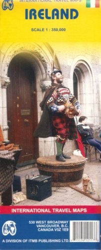
Ireland 1:350,000 Travel Map
0
0
As an Amazon Associate and affiliate partner, Menrva Books earns from qualifying purchases. Learn more
Author Description
Large format road and travel map at an excellent scale of 1:350,000 covers the Republic of Ireland as well as Northern Ireland. Includes also an inset with central Dublin street plan and a comprehensive place name index on the reverse. Distinguishes roads ranging from motorways to secondary roads. Legend includes toll roads, car ferry, railways, places/cultural sites/landscapes of particular interest, scenic views, routes with beautiful scenery, tourist routes, national parks/natural parks, airports/regional airports, churches, monasteries, palaces, castles, ruins, monuments, hotels, camping sites, youth hostels, bird protecting areas, riding farms, beaches. High quality cartography by German auto club.
Menrva's Summary
THE THESIS
This map provides a comprehensive overview of Ireland for travelers, detailing road networks and points of interest across both the Republic of Ireland and Northern Ireland. It aims to be a practical tool for navigation and exploration, offering detailed cartographic information. The map's utility is enhanced by its clear legend and inclusion of specific travel-related features. Its high-quality cartography ensures accuracy for users planning their journeys.
THE SCOPE MAP
- Detailed road network distinguishing motorways, primary, and secondary roads.
- Coverage of both the Republic of Ireland and Northern Ireland.
- Inset street plan of central Dublin.
- Comprehensive place name index.
- Symbols for toll roads, car ferries, railways, and airports.
- Icons for cultural and natural points of interest including national parks, castles, ruins, and scenic routes.
- Accommodation symbols for hotels, camping sites, and youth hostels.
THE AUTHORITY PERSPECTIVE
This map is designed as a practical travel reference, utilizing a scale of 1:350,000 to provide detailed coverage of Ireland. Its inclusion of a Dublin street plan and a comprehensive index enhances its usability for tourists. The legend is extensive, marking a wide array of points of interest from historical sites to natural landscapes and accommodation options. The cartography is noted as being of high quality, suggesting reliability for navigation.
Page Count:
2
Publication Date:
2006-12-01
Publisher:
ITMB Publishing, Ltd.
ISBN-10:
1553412559
ISBN-13:
9781553412557
Travel
Non-Fiction
Reference
Maps
Community Tags
Similar Books