Belfast Streetfinder Atlas
0
0
As an Amazon Associate and affiliate partner, Menrva Books earns from qualifying purchases. Learn more
Author Description
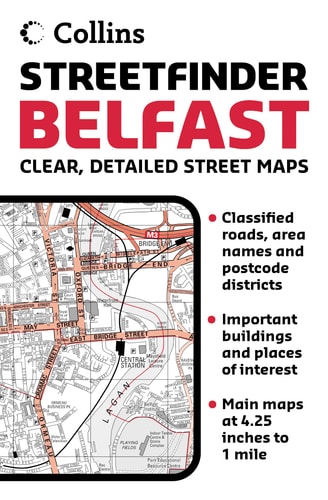
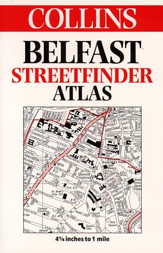
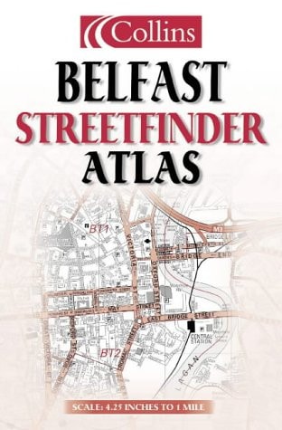
This streetfinder atlas has a scale of 4.25 inches to 1 mile. Fully updated, with clear, easy to use red and black street level mapping, it is fully indexed. An extensive area of Greater Belfast is covered, with postal districts and classified roads shown in red for extra clarity.
Menrva's Summary
THE THESIS
This atlas provides a comprehensive and precise cartographic resource for navigating the urban and suburban landscape of Belfast. The publication, produced by the cartographic division of HarperCollins, utilizes a standardized scale of 4.25 inches to 1 mile to ensure high legibility for motorists and pedestrians. The work organizes complex urban data into a structured, indexed format designed for practical, real-world navigation.
THE SCOPE MAP
What You Will Find
- Detailed street-level mapping of the Greater Belfast area
- A consistent cartographic scale of 4.25 inches to 1 mile
- Color-coded indicators for classified roads and postal districts
- A comprehensive alphabetical index for rapid location retrieval
THE AUTHORITY PERSPECTIVE
This atlas serves as a functional tool for local navigation, prioritizing clarity and ease of use through its specific color-coding and indexing systems. The technical specifications suggest a focus on utility for residents and visitors requiring reliable, offline geographic information.
Page Count:
48
Publication Date:
2003-01-01
Publisher:
Collins
ISBN-10:
0007147554
ISBN-13:
9780007147557
Travel
Reference
Road maps
Geography
Belfast
Ireland
Maps
Europe
Community Tags
Similar Books